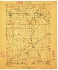
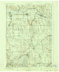
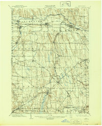
1902 Map of Phelps
USGS Topo · Published 1910About this map
Clifton Springs and Shortsville anchor the northern landscape of this Ontario County region, where the Canandaigua Outlet and the Lehigh Valley R. R. shaped the industrial and social development of the Finger Lakes hinterlands. The map reveals a dense network of steam-era transportation, featuring the New York Central and Hudson River R. R. intersecting with regional lines like the Northern Central R. R. at Stanley.
Find a feature on this map
60 named features on this map. Tap any name to fly to it.
Don’t see what you’re looking for? This feature index may not catch every label — zoom into the map to look around manually.
Map Details
Editions of this 1902 Phelps Map
7 editions found
Other maps of this area

1899 · Palmyra
USGS Topo · 1:62,500

1900 · Macedon
USGS Topo · 1:62,500

1900 · Naples
USGS Topo · 1:62,500

1900 · Canandaigua
USGS Topo · 1:62,500

1902 · Geneva
USGS Topo · 1:62,500

1902 · Clyde
USGS Topo · 1:62,500

1902 · Phelps
USGS Topo · 1:62,500

1902 · Ovid
USGS Topo · 1:62,500

1902 · Palmyra
USGS Topo · 1:62,500

1903 · Naples
USGS Topo · 1:62,500