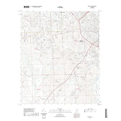
2020 Map of Phenix City
USGS Topo · Published 2020About this map
Phenix City and the growing residential corridors of Smiths Station and Ladonia define the landscape of eastern Alabama just across the river from Georgia. This survey documents the modern suburban and industrial expansion along the Lee and Russell County line, where former clay pits and mining sites like Kaolin transition into educational and civic hubs. The presence of the Chattahoochee Valley Community College and the Russell County Judicial Center indicates the area's development as a regional center of gravity.
Find a feature on this map
54 named features on this map. Tap any name to fly to it.
Don’t see what you’re looking for? This feature index may not catch every label — zoom into the map to look around manually.
Map Details
Editions of this 2020 Phenix City Map
This is the sole edition of this map. No revisions or reprints were ever made.
Other maps of this area

1907 · Talbotton
USGS Topo · 1:125,000

1907 · Opelika
USGS Topo · 1:125,000

1908 · Columbus
USGS Topo · 1:62,500

1909 · Opelika
USGS Topo · 1:125,000

1914 · Seale
USGS Topo · 1:62,500

1929 · Columbus
USGS Topo · 1:48,000

1947 · Columbus
USGS Topo · 1:62,500

1949 · Fort Mitchell
USGS Topo · 1:24,000

1949 · Columbus
USGS Topo · 1:24,000

1950 · Fort Benning
USGS Topo · 1:24,000