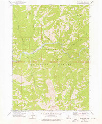
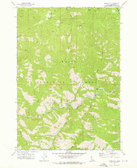
1972 Map of Phifer Creek
USGS Topo · Published 1976About this map
Middle Fork Boise River defines the central canyon of this 1970s wilderness survey, revealing a landscape shaped by both geology and industrial history. Extensive Dredge Tailings along the river banks suggest a history of mineral extraction that reached deep into the Boise National Forest. Remote activity is marked by the presence of a Mine near the East Fork Smith Creek and the Weatherby Landing Strip, providing a critical access point in this roadless area.
Find a feature on this map
28 named features on this map. Tap any name to fly to it.
Don’t see what you’re looking for? This feature index may not catch every label — zoom into the map to look around manually.
Map Details
Editions of this 1972 Phifer Creek Map
This is the sole edition of this map. No revisions or reprints were ever made.
Other maps of this area

1894 · Rocky Bar
USGS Topo · 1:125,000

1955 · Hailey
USGS Topo · 1:250,000

1959 · Hailey
USGS Topo · 1:250,000

1962 · Hailey
USGS Topo · 1:250,000

1964 · Little Trinity Lake
USGS Topo · 1:24,000

1964 · Cayuse Point
USGS Topo · 1:24,000
1964 · Rocky Bar
USGS Topo · 1:24,000
1972 · Bear River
USGS Topo · 1:24,000
1972 · Swanholm Peak
USGS Topo · 1:24,000
1972 · Grand Mtn
USGS Topo · 1:24,000