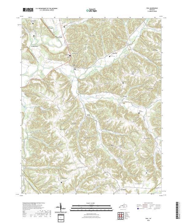
2022 Map of Phil
USGS Topo · Published 2022About this map
Phil and Teddy serve as central nodes for this rural pocket of Casey County, where the landscape is defined by the headwaters and winding course of the Green River. The terrain is deeply carved into a series of distinctive ridges and hollows, such as Hacker Ridge, Bruce Chapel Hollow, and Burton Ridge, which dictate the placement of roads and homesteads. The settlement pattern reveals a strong reliance on water crossings and high ground, evidenced by locations like Rubert Ford and Evans Ford along the river banks.
Find a feature on this map
104 named features on this map. Tap any name to fly to it.
Don’t see what you’re looking for? This feature index may not catch every label — zoom into the map to look around manually.
Map Details
Editions of this 2022 Phil Map
This is the sole edition of this map. No revisions or reprints were ever made.
Historical Maps of Phil Through Time
10 maps found
1952 Clementsville
Casey County, KY
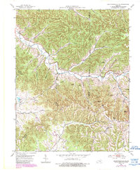
1952 Ellisburg
Casey County, KY
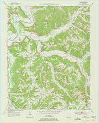
1952 Yosemite
Casey County, KY
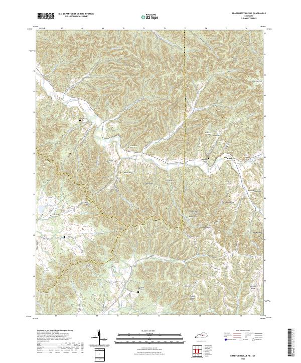
1953 Bradfordsville NE
Casey County, KY
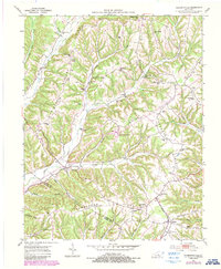
1953 Phil
Casey County, KY
2022 Bradfordsville NE
Casey County, KY
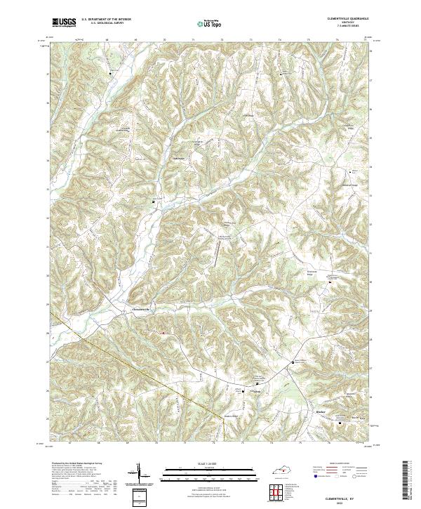
2022 Clementsville
Casey County, KY
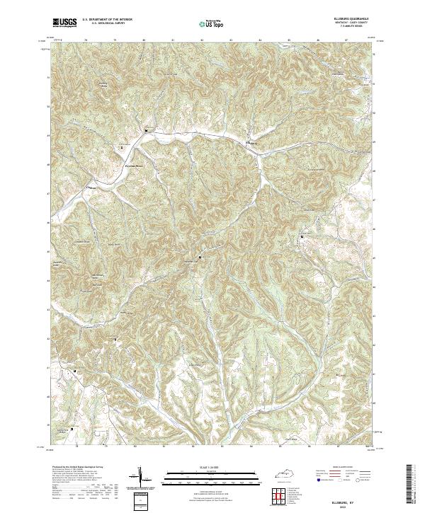
2022 Ellisburg
Casey County, KY
2022 Phil
Casey County, KY
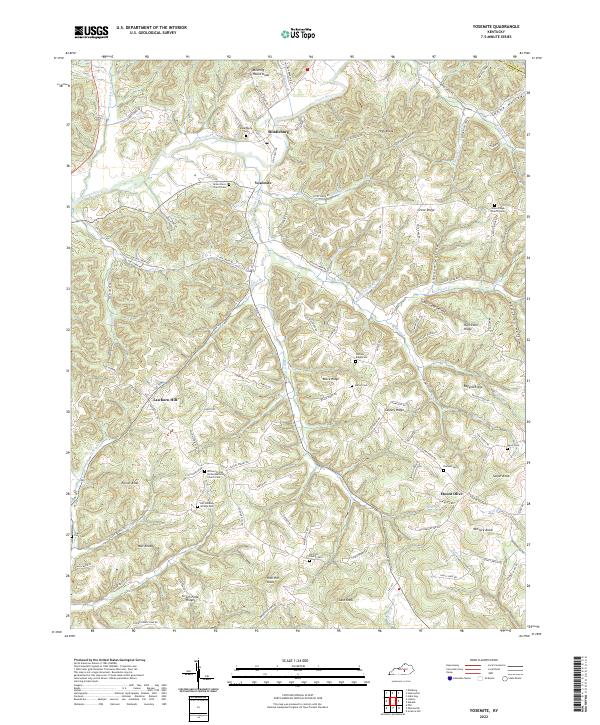
2022 Yosemite
Casey County, KY