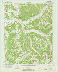
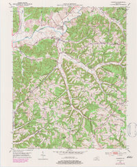
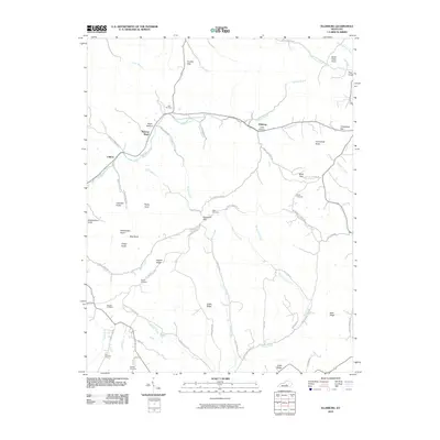
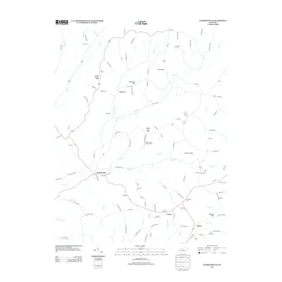
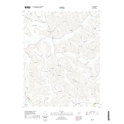
1953 Map of Phil
USGS Topo · Published 1973About this map
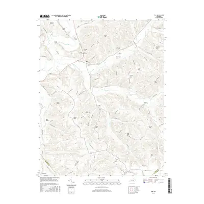
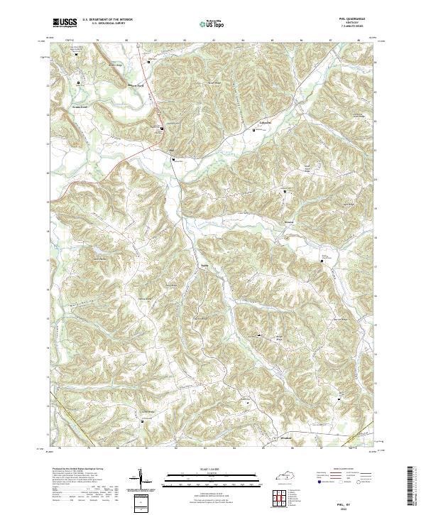
The Green River carves through the heart of this Casey County landscape, where the ridges and hollows dictate the pattern of rural life. Small settlements like Phil and Labascus are positioned along the primary routes, while the interior is defined by family-named landmarks such as Thomas Ridge and Hacker Ridge. The map documents a dense network of local schools and churches that served these upland communities in the early 1950s, including Pumpkin Chapel Sch and Canaan Valley Ch. River crossings remain vital to local movement, evidenced by named points like Rubert Ford and Evans Ford. This survey captures the county line where Casey meets Russell and Pulaski, providing a snapshot of the region's geography before significant modern infrastructure altered these traditional crossroads.
Find a feature on this map
74 named features on this map. Tap any name to fly to it.
Don’t see what you’re looking for? This feature index may not catch every label — zoom into the map to look around manually.
Map Details
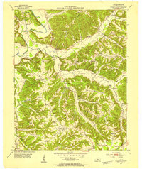
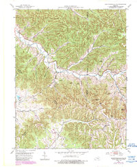
Editions of this 1953 Phil Map
2 editions found
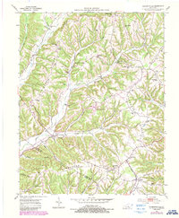
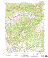
Historical Maps of Evans Ford Through Time
30 maps found
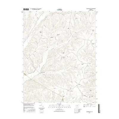
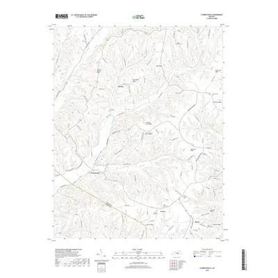
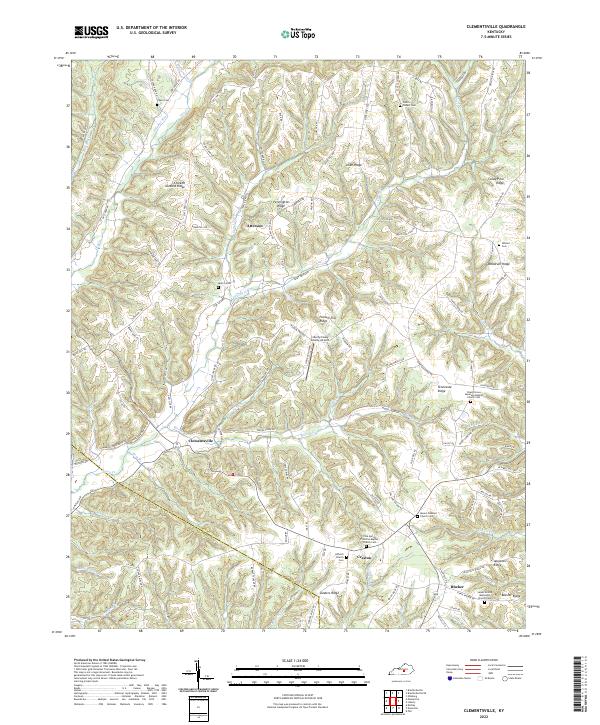
1952 Clementsville
Casey County, KY
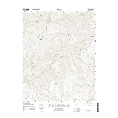
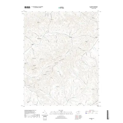
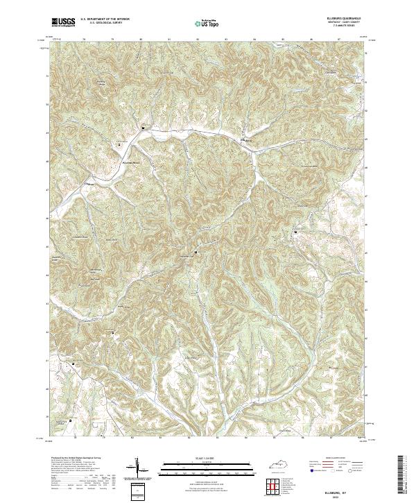
1952 Ellisburg
Casey County, KY
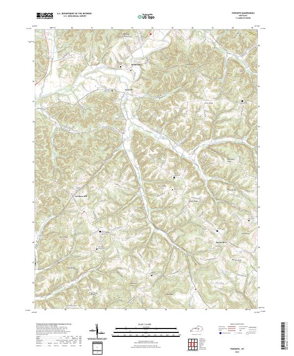
1952 Yosemite
Casey County, KY
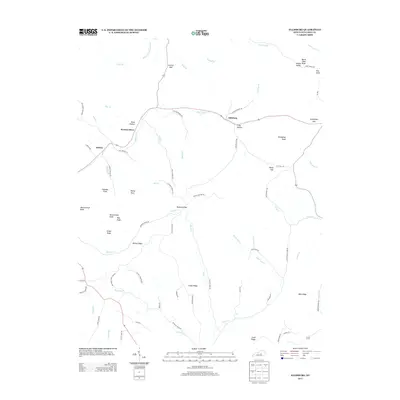
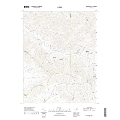
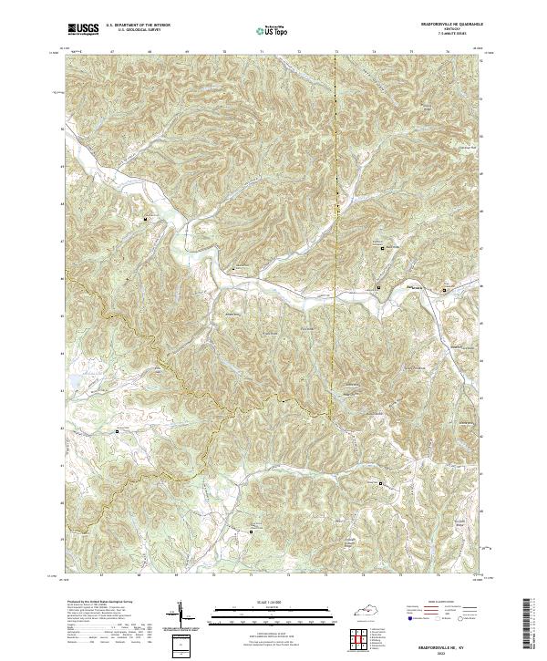
1953 Bradfordsville NE
Casey County, KY
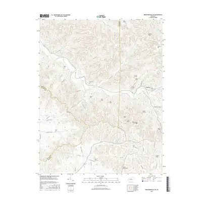
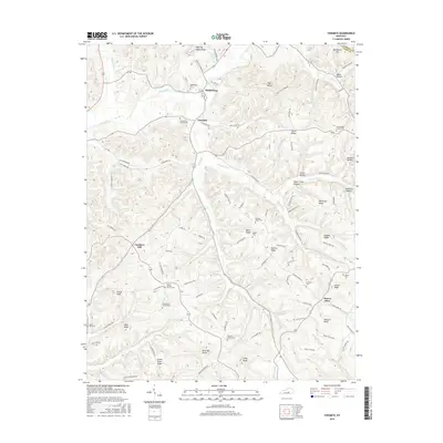
1953 Phil
Casey County, KY
2010 Bradfordsville NE
Casey County, KY
2010 Clementsville
Casey County, KY
2010 Ellisburg
Casey County, KY
2010 Phil
Casey County, KY
2010 Yosemite
Casey County, KY
2013 Bradfordsville NE
Casey County, KY
2013 Clementsville
Casey County, KY
2013 Ellisburg
Casey County, KY
2013 Phil
Casey County, KY
2013 Yosemite
Casey County, KY
2016 Bradfordsville NE
Casey County, KY
2016 Clementsville
Casey County, KY
2016 Ellisburg
Casey County, KY
2016 Phil
Casey County, KY
2016 Yosemite
Casey County, KY
2019 Bradfordsville NE
Casey County, KY
2019 Clementsville
Casey County, KY
2019 Ellisburg
Casey County, KY
2019 Phil
Casey County, KY
2019 Yosemite
Casey County, KY
2022 Bradfordsville NE
Casey County, KY
2022 Clementsville
Casey County, KY
2022 Ellisburg
Casey County, KY
2022 Phil
Casey County, KY
2022 Yosemite
Casey County, KY