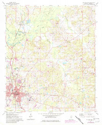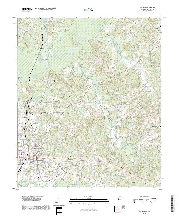
2024 Map of Philadelphia
USGS Topo · Published 2024About this map
The Philadelphia town center and its surrounding Neshoba County landscape are meticulously documented in this modern survey, highlighting the concentrated urban grid against the winding course of the Pearl River. At the heart of the settlement, the Neshoba County Courthouse serves as the focal point for the region's civic life. Moving outward from the town, the terrain is shaped by numerous watercourses including Funny Yackana Creek and Bogue Ken-taw-ka, which drain the timbered and agricultural uplands. Rural life is anchored by established communities such as Burnside, Longino, and Sandtown, each connected by a complex web of county roads. For those tracing family histories, the map identifies several local landmarks of genealogical importance, such as Old North Bend Methodist Church Cem and Cedar Lawn Cem.
Find a feature on this map
142 named features on this map. Tap any name to fly to it.
Don’t see what you’re looking for? This feature index may not catch every label — zoom into the map to look around manually.
Map Details
Editions of this 2024 Philadelphia Map
This is the sole edition of this map. No revisions or reprints were ever made.