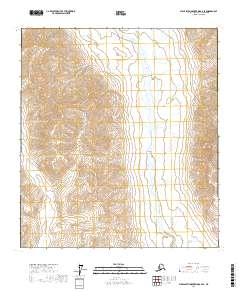
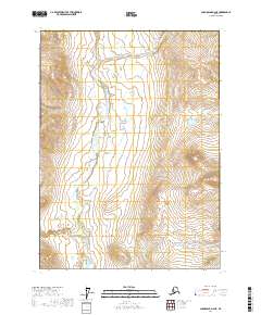
2017 Map of Philip Smith Mountains A-2 SE
USGS Topo · Published 2017About this map
Middle Fork Chandalar River dominates the eastern corridor of this terrain, following a braided course southward through the Brooks Range. This 2017 survey documents the precise hydrography and elevation of the North Slope's interior, where the river's wide floodplains provide a contrast to the surrounding high-altitude terrain. The landscape is defined by the Public Land Survey System grid, including regions like t15s r19e and t16s r19e, which help orient researchers to specific wilderness tracts within the North Slope Borough. This map serves as a modern topographic benchmark for an area largely inaccessible by road, recording the natural drainage patterns that have shaped this subarctic environment.
Find a feature on this map
10 named features on this map. Tap any name to fly to it.
Don’t see what you’re looking for? This feature index may not catch every label — zoom into the map to look around manually.
Map Details
Editions of this 2017 Philip Smith Mountains A-2 SE Map
This is the sole edition of this map. No revisions or reprints were ever made.
Other maps of this area

1951 · Chandalar
USGS Topo · 1:250,000

1951 · Brooks
USGS Topo · 1:250,000

1956 · Chandalar
USGS Topo · 1:250,000

1956 · Philip Smith Mountains
USGS Topo · 1:250,000

1964 · Chandalar
USGS Topo · 1:250,000

1964 · Philip Smith Mountains
USGS Topo · 1:250,000
1971 · Philip Smith Mountains A-2
USGS Topo · 1:63,360
1971 · Philip Smith Mountains A-1
USGS Topo · 1:63,360
1990 · Chandalar D-2
USGS Topo · 1:63,360
2017 · Chandalar D-2 NE
USGS Topo · 1:25,000