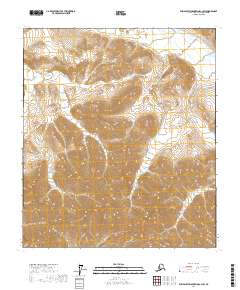
2017 Map of Philip Smith Mountains C-3 SW
USGS Topo · Published 2017About this map
Section Cr and Accomplishment Cr define the high-altitude drainage patterns across this section of the Philip Smith Mountains. Located within the North Slope Borough, the landscape is dictated by steep contour intervals that illustrate the complex topography of the Brooks Range. These glacial valleys and mountain passes are segmented by the Public Land Survey System, with boundaries for t9s r14e, t10s r15e, and other townships marking the territory. The map serves as a precise record of the hydrologic headwaters before they descend toward the northern coastal plain.
Find a feature on this map
8 named features on this map. Tap any name to fly to it.
Don’t see what you’re looking for? This feature index may not catch every label — zoom into the map to look around manually.
Map Details
Editions of this 2017 Philip Smith Mountains C-3 SW Map
This is the sole edition of this map. No revisions or reprints were ever made.
Other maps of this area

1951 · Brooks
USGS Topo · 1:250,000

1956 · Philip Smith Mountains
USGS Topo · 1:250,000

1964 · Philip Smith Mountains
USGS Topo · 1:250,000

1971 · Philip Smith Mountains C-4
USGS Topo · 1:63,360
1971 · Philip Smith Mountains C-3
USGS Topo · 1:63,360

1971 · Philip Smith Mountains B-3
USGS Topo · 1:63,360
1971 · Philip Smith Mountains B-4
USGS Topo · 1:63,360
2017 · Philip Smith Mountains C-4 NE
USGS Topo · 1:25,000
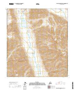
2017 · Philip Smith Mountains B-4 NE
USGS Topo · 1:25,000
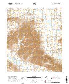
2017 · Philip Smith Mountains C-3 NW
USGS Topo · 1:25,000