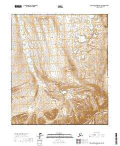
2017 Map of Philip Smith Mountains C-4 SW
USGS Topo · Published 2017About this map
Kuparuk River and Toolik River define the northern drainage patterns of this Arctic landscape within the North Slope Borough. The terrain is characterized by a high-altitude watershed where northern-flowing water systems emerge from the northern foothills of the Brooks Range. In the southeastern corner, the Atigun River cuts through the more dramatic elevation changes, marking a transition toward the continental divide. This 2017 survey reflects the remote wilderness of the t11s r13e and t9s r12e townships, documenting the intricate network of wetlands and seasonal watercourses that remain largely untouched by permanent settlement or infrastructure. The map provides a detailed view of the natural topography, illustrating the complex braiding of glacial-fed rivers as they move across the tundra toward the Arctic Ocean.
Find a feature on this map
9 named features on this map. Tap any name to fly to it.
Don’t see what you’re looking for? This feature index may not catch every label — zoom into the map to look around manually.
Map Details
Editions of this 2017 Philip Smith Mountains C-4 SW Map
This is the sole edition of this map. No revisions or reprints were ever made.
Other maps of this area

1951 · Brooks
USGS Topo · 1:250,000

1956 · Philip Smith Mountains
USGS Topo · 1:250,000

1964 · Philip Smith Mountains
USGS Topo · 1:250,000

1971 · Philip Smith Mountains C-4
USGS Topo · 1:63,360
1971 · Philip Smith Mountains B-5
USGS Topo · 1:63,360
1971 · Philip Smith Mountains B-4
USGS Topo · 1:63,360
1971 · Philip Smith Mountains C-5
USGS Topo · 1:63,360
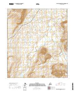
2017 · Philip Smith Mountains C-4 NE
USGS Topo · 1:25,000
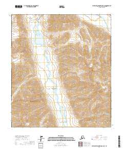
2017 · Philip Smith Mountains B-4 NE
USGS Topo · 1:25,000
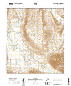
2017 · Philip Smith Mountains C-4 SE
USGS Topo · 1:25,000