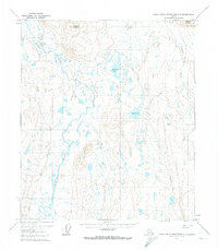
1971 Map of Philip Smith Mountains C-5
USGS Topo · Published 1974About this map
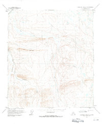
The Itkillik River winds through this Arctic landscape, anchoring a wilderness marked by seasonal transit routes and scientific outpost infrastructure. In the early 1970s, this area of the North Slope was defined by its sparse but vital human footprints, including the Toolik Lake Camp and an adjacent Landing Strip near the shores of Toolik Lake. The presence of a Winter Road and a Winter Trail reflects the logistical challenges of the era, where heavy movement was often restricted to the frozen months. Between the high points of Itigaknit Mountain and Imnavait Mountain, a complex network of smaller lakes and the headwaters of the Kuparuk River dominate the drainage patterns, illustrating the delicate hydrology of the tundra before more extensive regional development occurred.
Find a feature on this map
10 named features on this map. Tap any name to fly to it.
Don’t see what you’re looking for? This feature index may not catch every label — zoom into the map to look around manually.
Map Details
Editions of this 1971 Philip Smith Mountains C-5 Map
3 editions found
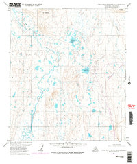
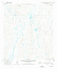
Other maps of this area

1951 · Chandler Lake
USGS Topo · 1:250,000

1951 · Brooks
USGS Topo · 1:250,000

1956 · Philip Smith Mountains
USGS Topo · 1:250,000

1956 · Chandler Lake
USGS Topo · 1:250,000

1964 · Philip Smith Mountains
USGS Topo · 1:250,000

1964 · Chandler Lake
USGS Topo · 1:250,000
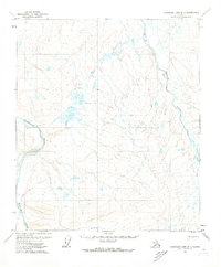
1971 · Chandler Lake D-1
USGS Topo · 1:63,360

1971 · Philip Smith Mountains C-4
USGS Topo · 1:63,360
1971 · Chandler Lake C-1
USGS Topo · 1:63,360
1971 · Philip Smith Mountains B-5
USGS Topo · 1:63,360