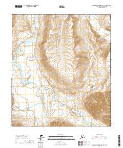
2017 Map of Philip Smith Mountains C-4 SE
USGS Topo · Published 2017About this map
Atigun Gorge serves as a dramatic transition point in this northern landscape, where the waters of the Atigun River meet the much larger Sagavanirktok River. This 2017 survey by the U.S. Geological Survey captures the intricate drainage patterns of the North Slope, characterized by the wide, braided channels of the main rivers and smaller tributaries like Section Creek. The cartography details the complex interaction of hydrology and terrain, documenting the shifting gravel bars and seasonal wetlands that define this sub-arctic environment. The lack of human settlements or infrastructure emphasizes the raw, natural character of the terrain, making this an essential record for studying the geomorphology of Alaska's high-latitude river systems.
Find a feature on this map
10 named features on this map. Tap any name to fly to it.
Don’t see what you’re looking for? This feature index may not catch every label — zoom into the map to look around manually.
Map Details
Editions of this 2017 Philip Smith Mountains C-4 SE Map
This is the sole edition of this map. No revisions or reprints were ever made.
Other maps of this area

1951 · Brooks
USGS Topo · 1:250,000

1956 · Philip Smith Mountains
USGS Topo · 1:250,000

1964 · Philip Smith Mountains
USGS Topo · 1:250,000

1971 · Philip Smith Mountains C-4
USGS Topo · 1:63,360
1971 · Philip Smith Mountains C-3
USGS Topo · 1:63,360

1971 · Philip Smith Mountains B-3
USGS Topo · 1:63,360
1971 · Philip Smith Mountains B-4
USGS Topo · 1:63,360
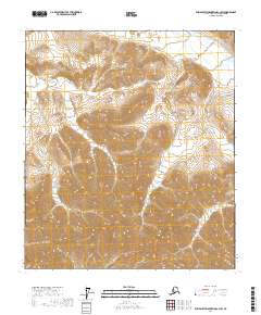
2017 · Philip Smith Mountains C-3 SW
USGS Topo · 1:25,000
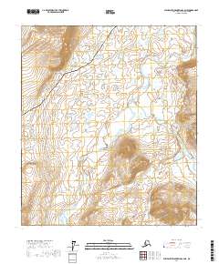
2017 · Philip Smith Mountains C-4 NE
USGS Topo · 1:25,000
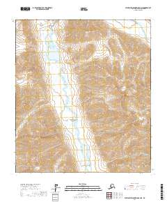
2017 · Philip Smith Mountains B-4 NE
USGS Topo · 1:25,000