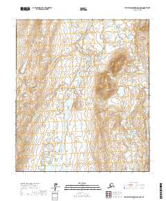
2017 Map of Philip Smith Mountains C-5 SW
USGS Topo · Published 2017About this map
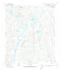
The Itkillik River winds through this Brooks Range landscape, carving a wide valley floor marked by intricate braided channels and numerous small wetlands. This portion of the North Slope in the early twenty-first century remains largely defined by its natural hydrology, with the river serving as the central geographic corridor through a series of township sections including T10s R9e and T11s R10e. The elevation contours reveal the transition from the relatively flat, marshy lowlands adjacent to the water to the rising upland terrain of the Philip Smith Mountains. Because there are no roads or named human settlements on this sheet, the map provides a pure study of Arctic river morphology and the Public Land Survey System boundaries that organize this remote territory.
Find a feature on this map
7 named features on this map. Tap any name to fly to it.
Don’t see what you’re looking for? This feature index may not catch every label — zoom into the map to look around manually.
Map Details
Editions of this 2017 Philip Smith Mountains C-5 SW Map
This is the sole edition of this map. No revisions or reprints were ever made.
Other maps of this area

1951 · Chandler Lake
USGS Topo · 1:250,000

1951 · Brooks
USGS Topo · 1:250,000

1956 · Philip Smith Mountains
USGS Topo · 1:250,000

1956 · Chandler Lake
USGS Topo · 1:250,000

1964 · Philip Smith Mountains
USGS Topo · 1:250,000

1964 · Chandler Lake
USGS Topo · 1:250,000
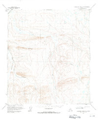
1971 · Chandler Lake C-1
USGS Topo · 1:63,360
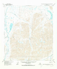
1971 · Philip Smith Mountains B-5
USGS Topo · 1:63,360
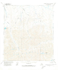
1971 · Chandler Lake B-1
USGS Topo · 1:63,360
1971 · Philip Smith Mountains C-5
USGS Topo · 1:63,360