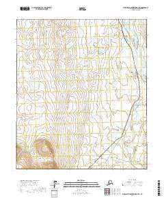
2017 Map of Philip Smith Mountains D-4 SE
USGS Topo · Published 2017About this map
Sagavanirktok River meanders across this Arctic landscape, defining the primary drainage for the surrounding wetlands and foothills of the North Slope. The area is characterized by an extensive network of ponds and saturated terrain, demonstrating the complex hydrology of the region. Modern industrial infrastructure is central to this map, with the Alaska Pipeline and the Dalton Highway running in parallel through the eastern sections. This corridor represents the critical transportation and energy artery connecting the Arctic coast to the interior, cutting through township lines such as t7s r14e and t8s r14e. The map illustrates the direct relationship between natural river systems and the engineered paths required for resource extraction in a remote environment.
Find a feature on this map
9 named features on this map. Tap any name to fly to it.
Don’t see what you’re looking for? This feature index may not catch every label — zoom into the map to look around manually.
Map Details
Editions of this 2017 Philip Smith Mountains D-4 SE Map
This is the sole edition of this map. No revisions or reprints were ever made.
Other maps of this area

1951 · Brooks
USGS Topo · 1:250,000

1956 · Philip Smith Mountains
USGS Topo · 1:250,000

1964 · Philip Smith Mountains
USGS Topo · 1:250,000
1971 · Philip Smith Mountains D-3
USGS Topo · 1:63,360

1971 · Philip Smith Mountains C-4
USGS Topo · 1:63,360
1971 · Philip Smith Mountains C-3
USGS Topo · 1:63,360
1971 · Philip Smith Mountains D-4
USGS Topo · 1:63,360
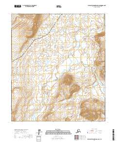
2017 · Philip Smith Mountains C-4 NE
USGS Topo · 1:25,000
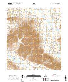
2017 · Philip Smith Mountains C-3 NW
USGS Topo · 1:25,000
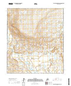
2017 · Philip Smith Mountains D-3 SW
USGS Topo · 1:25,000