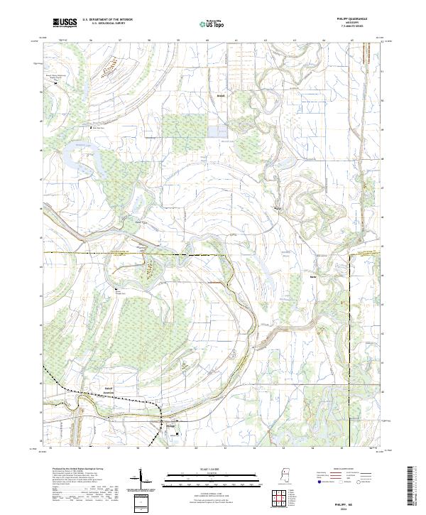
2024 Map of Philipp
USGS Topo · Published 2024About this map
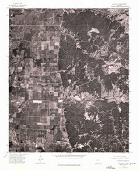
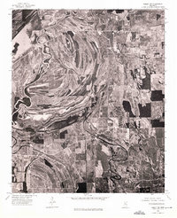
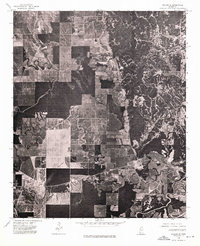
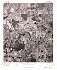
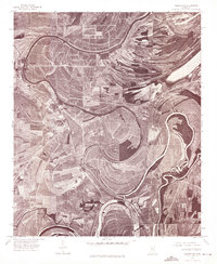
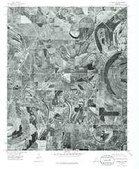
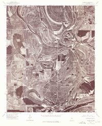
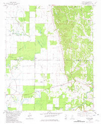
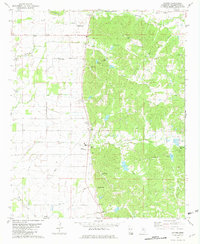
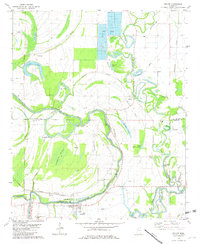
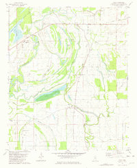
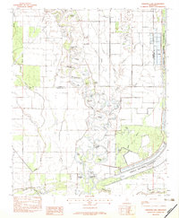
The Tallahatchie River meanders through this portion of the Mississippi Delta, defining the boundaries between Tallahatchie, Leflore, and Grenada counties. The landscape is a network of alluvial features including Matthews Bayou, Tippo Bayou, and Blue Lake, which reflect the region's complex hydrological history before modern flood controls. Centered on the settlement of Philipp, the map reveals a rural geography shaped by agriculture and conservation, notably within the Tallahatchie National Wildlife Refuge.
Find a feature on this map
61 named features on this map. Tap any name to fly to it.
Don’t see what you’re looking for? This feature index may not catch every label — zoom into the map to look around manually.
Map Details
Editions of this 2024 Philipp Map
This is the sole edition of this map. No revisions or reprints were ever made.
Historical Maps of Mehr Through Time
25 maps found
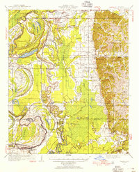
1932 Philipp
Tallahatchie County, MS

1935 Philipp
Tallahatchie County, MS

1939 Philipp
Tallahatchie County, MS
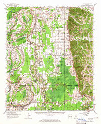
1957 Philipp
Tallahatchie County, MS
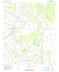
1967 Vance
Tallahatchie County, MS
1974 Philipp NE
Tallahatchie County, MS
1974 Philipp NW
Tallahatchie County, MS
1974 Philipp SE
Tallahatchie County, MS
1974 Philipp SW
Tallahatchie County, MS
1974 Sumner NE
Tallahatchie County, MS
1974 Sumner NW
Tallahatchie County, MS
1974 Sumner SE
Tallahatchie County, MS
1981 Cascilla
Tallahatchie County, MS
1981 Paynes
Tallahatchie County, MS
1981 Philipp
Tallahatchie County, MS
1981 Tippo
Tallahatchie County, MS
1982 Fishhook Lake
Tallahatchie County, MS
1983 Rome
Tallahatchie County, MS
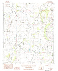
2024 Cascilla
Tallahatchie County, MS
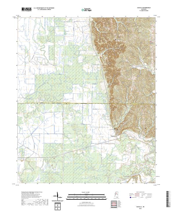
2024 Fishhook Lake
Tallahatchie County, MS
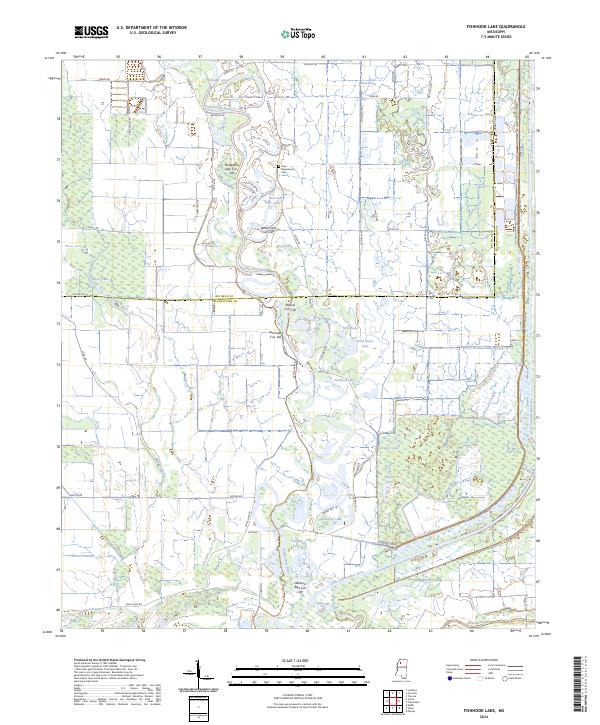
2024 Paynes
Tallahatchie County, MS
2024 Philipp
Tallahatchie County, MS
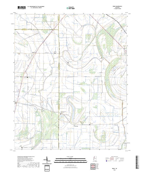
2024 Rome
Tallahatchie County, MS
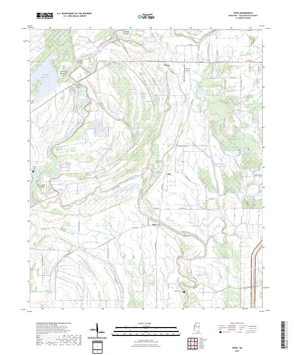
2024 Tippo
Tallahatchie County, MS
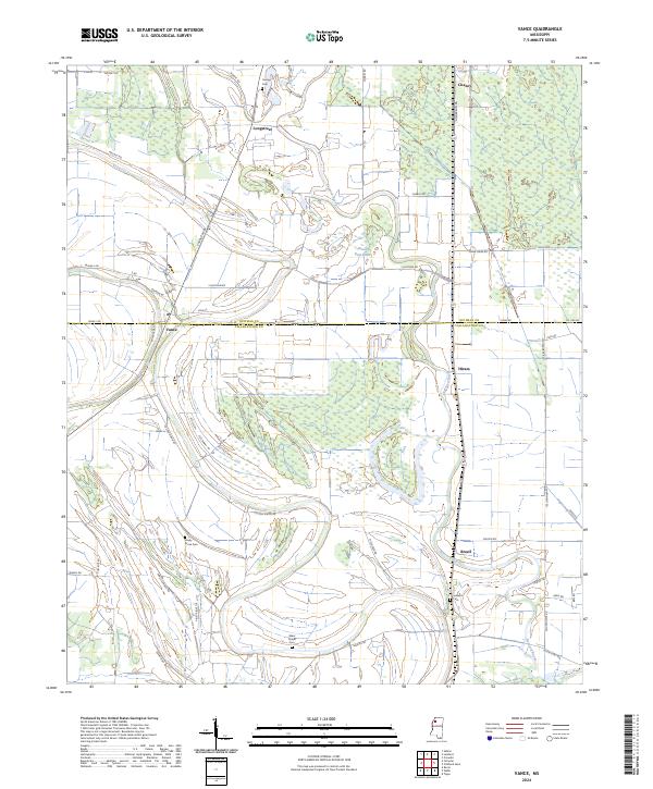
2024 Vance
Tallahatchie County, MS