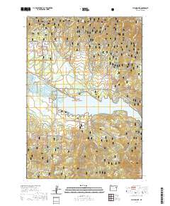
2020 Map of Phillips Lake
USGS Topo · Published 2020About this map
Phillips Lake and the Powder River define the central geography of this portion of Whitman National Forest, where the flat floor of the Sumpter Valley meets the high slopes of the Elkhorn Mountains. In the north, the small settlement of McEwen and the nearby McEwen Cem stand as markers of the area's early 20th-century history, while McHenry Flat sits to the south. The landscape is heavily marked by water management and recreation, featuring irrigation infrastructure like Farmers Ditch and McEwen Valley Ditch alongside an extensive network of seasonal trails, including the Sumpter Loop 1 Snowmobile (Snow). Numerous family-named and topographic landmarks populate the surrounding ridges, such as Indian Rock, Jack Mtn, and Cook Gulch, offering a detailed view of the terrain before it rises toward Elkhorn Ridge.
Find a feature on this map
62 named features on this map. Tap any name to fly to it.
Don’t see what you’re looking for? This feature index may not catch every label — zoom into the map to look around manually.
Map Details
Editions of this 2020 Phillips Lake Map
This is the sole edition of this map. No revisions or reprints were ever made.
Other maps of this area

1901 · Baker City
USGS Topo · 1:125,000

1901 · Sumpter
USGS Topo · 1:125,000

1955 · Baker
USGS Topo · 1:250,000

1955 · Canyon City
USGS Topo · 1:250,000

1959 · Baker
USGS Topo · 1:250,000

1959 · Canyon City
USGS Topo · 1:250,000

1967 · Blue Canyon
USGS Topo · 1:24,000
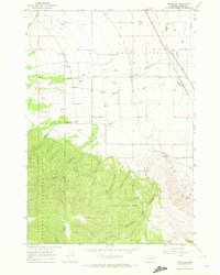
1967 · Wingville
USGS Topo · 1:24,000
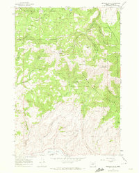
1967 · Brannan Gulch
USGS Topo · 1:24,000
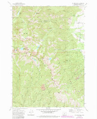
1972 · Elkhorn Peak
USGS Topo · 1:24,000