
1965 Map of Phillips
USGS Topo · Published 1969About this map
The settlement of Phillips serves as a primary reference point in this landscape where the drainages of Big Warm Creek and Little Warm Creek converge. Mapped as part of a Missouri River Basin development study, the area reveals a pattern of ranching and early rural infrastructure in Phillips County. Traces of local land use are visible through features like the KRM Ranch and the small siding or locality of Veseth near the southern border. The terrain transitions from the level reaches of Parrott Flat into the carved topography of Schoolhouse Coulee, illustrating the erosional character of the northern plains. The presence of a solitary Well and specific ranch names provides important markers for genealogists tracing family land holdings in this part of Montana during the mid-1960s.
Find a feature on this map
8 named features on this map. Tap any name to fly to it.
Don’t see what you’re looking for? This feature index may not catch every label — zoom into the map to look around manually.
Map Details
Editions of this 1965 Phillips Map
This is the sole edition of this map. No revisions or reprints were ever made.
Other maps of this area

1953 · Havre
USGS Topo · 1:250,000

1954 · Lewistown
USGS Topo · 1:250,000

1957 · Havre
USGS Topo · 1:250,000

1958 · Havre
USGS Topo · 1:250,000

1959 · Lewistown
USGS Topo · 1:250,000

1965 · West Alkali Reservoir
USGS Topo · 1:24,000

1965 · Veseth Reservoir
USGS Topo · 1:24,000
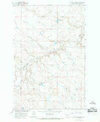
1965 · Holzhey Reservoir
USGS Topo · 1:24,000
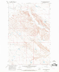
1965 · Seymour Reservoir
USGS Topo · 1:24,000

1965 · Wild Horse Reservoir
USGS Topo · 1:24,000