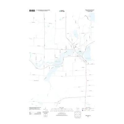
2013 Map of Phillips
USGS Topo · Published 2013About this map
The town of Phillips serves as the central hub for this portion of Price County, situated along the complex water system of Long Lakes and Wilson Flowage Duroy Elk. This 2013 survey illustrates a landscape defined by its transition between organized settlement and a dense network of glacial lakes and springs. Outside the town grid, features like Mink Spring, Janacek Springs, and Flemmings Rapids along the Elk River highlight the natural hydrology that shaped local industry and recreation. To the north, Solberg Lake and its dam mark a major water feature, while the presence of the Price County Airport and the corridor of Wi-13 show the modern transportation infrastructure serving this Northwoods community. The southern reaches of the map transition into a more distributed landscape of smaller lakes, including Lake Three, Warner Lake, and Lake Ten, near the headwaters of the N Fork Jump River.
Find a feature on this map
80 named features on this map. Tap any name to fly to it.
Don’t see what you’re looking for? This feature index may not catch every label — zoom into the map to look around manually.
Map Details
Editions of this 2013 Phillips Map
This is the sole edition of this map. No revisions or reprints were ever made.
Other maps of this area

1941 · Park Falls
USGS Topo · 1:48,000

1941 · Kennan
USGS Topo · 1:48,000

1941 · Kennedy
USGS Topo · 1:48,000

1941 · Phillips
USGS Topo · 1:48,000

1943 · Park Falls
USGS Topo · 1:48,000

1943 · Philliips
USGS Topo · 1:48,000

1945 · Kennedy
USGS Topo · 1:48,000

1945 · Kennan
USGS Topo · 1:48,000

1947 · Park Falls
USGS Topo · 1:48,000

1953 · Rice Lake
USGS Topo · 1:250,000