Loading...
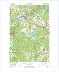
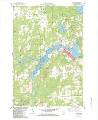
Loading map...1968 Map of Phillips
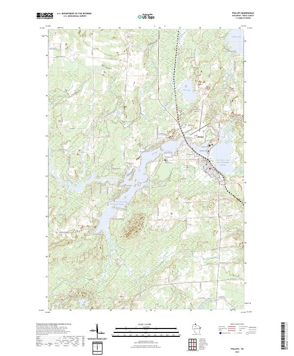
USGS Topo · Published 1970About this map
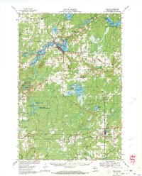
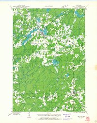
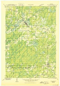
The Phillips city center and the surrounding Northwoods landscape define this late-1960s survey of central Price County. Water is the dominant feature, with the chain of Long Lake, Elk Lake, and Duroy Lake bordering the town site, while the Elk River and Musser Lake extend through the timbered terrain. The local economy and infrastructure are evidenced by the Soo Line railroad corridor, the Price County Airport, and several Cranberry Bogs scattered near Cranberry Lake.
Find a feature on this map
66 named features on this map. Tap any name to fly to it.
Don’t see what you’re looking for? This feature index may not catch every label — zoom into the map to look around manually.
Map Details
Date Portrayed1968
Date Published1970
PublisherU.S. Geological Survey
Map TypeTopographic
Scale1:62,500
Physical Dimensions18.35 x 22.24 inches
Editions of this 1968 Phillips Map
2 editions found
Historical Maps of Worcester Through Time
5 maps found
Featured Locations
Source Details
SourceU.S. Geological Survey
CopyrightPublic Domain