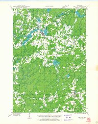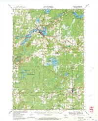
1968 Map of Phillips
USGS Topo · Published 1971About this map
The timber and water resources of Price County define this landscape as it appeared in the late 1960s, centered on the city of Phillips and the village of Prentice. The drainage of the Elk River and Little Elk River feeds a complex network of glacial lakes including Wilson Lake, Long Lake, and Musser Lake. Economic activity is anchored by the Soo Line railroad corridor and local industry, indicated by numerous Gravel Pits and the Cranberry Bogs situated north of Cranberry Lake. Rural life is marked by institutions such as the Worcester Sch and the Townhall in Hackett, alongside several burial grounds like Lakeside Cem and St Patricks Cem. Conservation areas, notably the Spring Creek National Wildlife Area, contrast with the infrastructure of the Price County Airport and Prentice Airport, illustrating the region's balance between wild Northwoods terrain and twentieth-century development.
Find a feature on this map
67 named features on this map. Tap any name to fly to it.
Don’t see what you’re looking for? This feature index may not catch every label — zoom into the map to look around manually.
Map Details
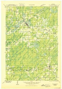
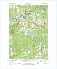
Editions of this 1968 Phillips Map
2 editions found
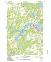
Historical Maps of Worcester Through Time
5 maps found