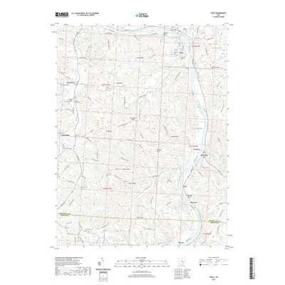
2019 Map of Philo
USGS Topo · Published 2019About this map
The Muskingum River dominates this portion of Muskingum County, carving a deep valley that separates the high ridges of southeastern Ohio. The village of Philo sits prominently along the eastern bank, positioned near the northern boundary where Salt Creek joins the main waterway. The landscape is defined by its series of parallel ridges and hollows, including Fatler Ridge, Irish Ridge, and Butterbean Ridge, which served as the primary locations for early rural settlements and family homesteads.
Find a feature on this map
126 named features on this map. Tap any name to fly to it.
Don’t see what you’re looking for? This feature index may not catch every label — zoom into the map to look around manually.
Map Details
Editions of this 2019 Philo Map
This is the sole edition of this map. No revisions or reprints were ever made.
Other maps of this area

1910 · Philo
USGS Topo · 1:62,500

1910 · Zanesville
USGS Topo · 1:62,500

1910 · Mc Connelsville
USGS Topo · 1:62,500

1911 · New Lexington
USGS Topo · 1:62,500

1947 · Columbus
USGS Topo · 1:250,000

1949 · Clarksburg
USGS Topo · 1:250,000

1956 · Clarksburg
USGS Topo · 1:250,000

1961 · Columbus
USGS Topo · 1:250,000

1961 · Clarksburg
USGS Topo · 1:250,000

1961 · Mc Connelsville
USGS Topo · 1:24,000