
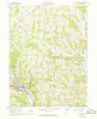
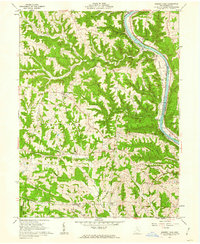
1961 Map of Mc Connelsville
USGS Topo · Published 1962About this map
The Muskingum River dominates this 1961 landscape, with the twin riverfront towns of Mc Connelsville and Malta serving as the region's commercial core. The Baltimore and Ohio railroad tracks trace the western bank, supporting the local economy alongside the Fairgrounds and Athletic Field on the eastern side. Beyond the river valley, the topography rises into hills marked by family-named landmarks like Willis Hill and Cotton Hill, and small settlements such as Cherry Hill and Neelysville.
Find a feature on this map
43 named features on this map. Tap any name to fly to it.
Don’t see what you’re looking for? This feature index may not catch every label — zoom into the map to look around manually.
Map Details
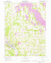
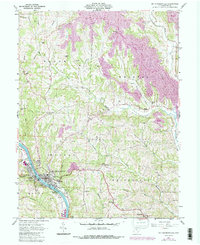
Editions of this 1961 Mc Connelsville Map
4 editions found
Other maps of this area

1909 · Caldwell
USGS Topo · 1:62,500

1910 · Philo
USGS Topo · 1:62,500

1910 · Mc Connelsville
USGS Topo · 1:62,500

1911 · Cumberland
USGS Topo · 1:62,500

1912 · Caldwell
USGS Topo · 1:62,500

1949 · Clarksburg
USGS Topo · 1:250,000

1956 · Clarksburg
USGS Topo · 1:250,000

1961 · Clarksburg
USGS Topo · 1:250,000
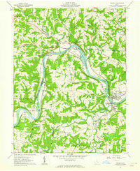
1961 · Beverly
USGS Topo · 1:24,000
1961 · Rokeby Lock
USGS Topo · 1:24,000