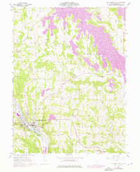
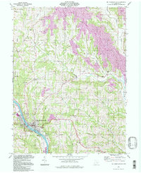
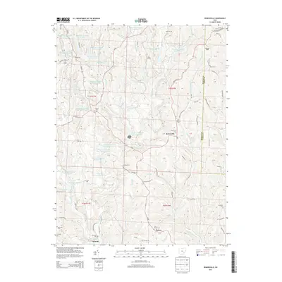
1961 Map of Mc Connelsville
USGS Topo · Published 1976About this map
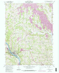
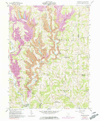
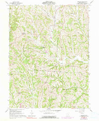
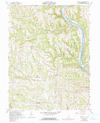
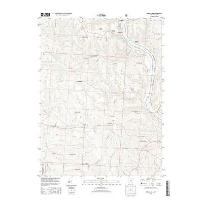
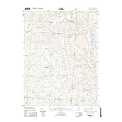
The Muskingum River serves as the central artery for this mid-century portrait of Morgan County, separating the riverfront communities of Mc Connelsville and Malta. The industrial and transport footprint of the early 1960s is evident in the Baltimore and Ohio railroad line hugging the western bank and several Strip Mines operating in the uplands of Bristol and Morgan townships. Local civic life is anchored by landmarks like the Fairgrounds and Athletic Field near the river, while the rural interior is dotted with cultural anchors such as McKendree Ch and Neelysville Sch. The landscape is deeply dissected by numerous waterways including Meigs Creek and Fourmile Run, which shaped the placement of early infrastructure like the Cotton Bridge and various oil and gas wells that mark the region's extractive history.
Find a feature on this map
44 named features on this map. Tap any name to fly to it.
Don’t see what you’re looking for? This feature index may not catch every label — zoom into the map to look around manually.
Map Details
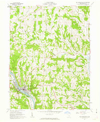
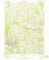
Editions of this 1961 Mc Connelsville Map
4 editions found
Historical Maps of McConnelsville Through Time
24 maps found
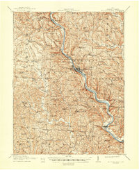
1910 Mc Connelsville
Morgan County, OH
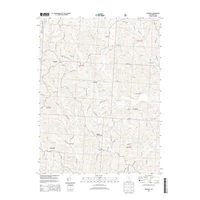
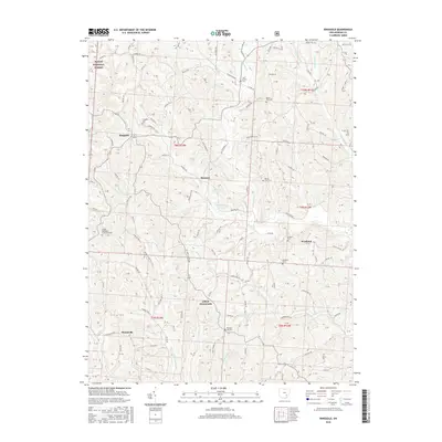
1961 Mc Connelsville
Morgan County, OH
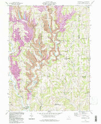
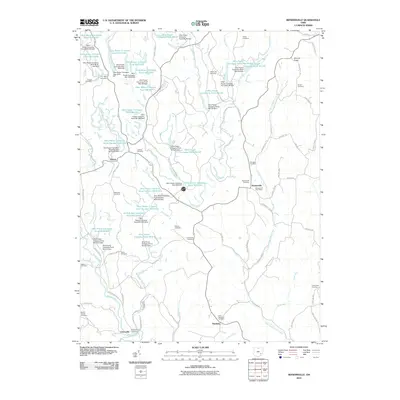
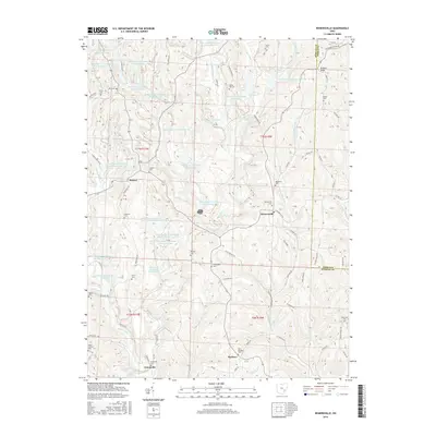
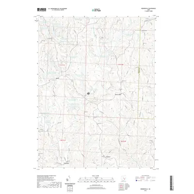
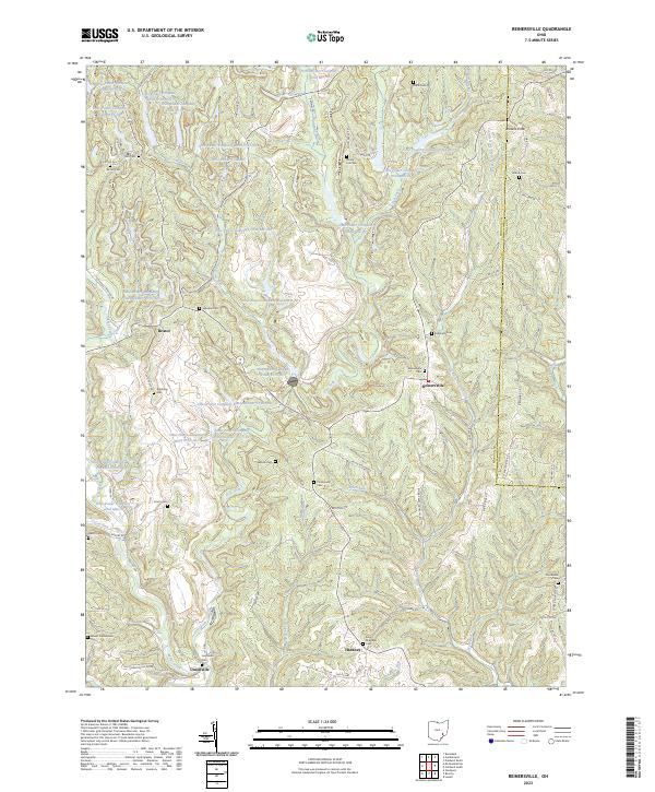
1961 Reinersville
Morgan County, OH
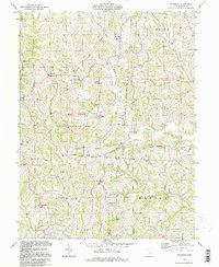
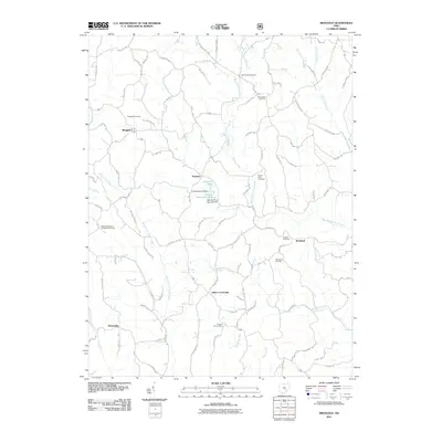
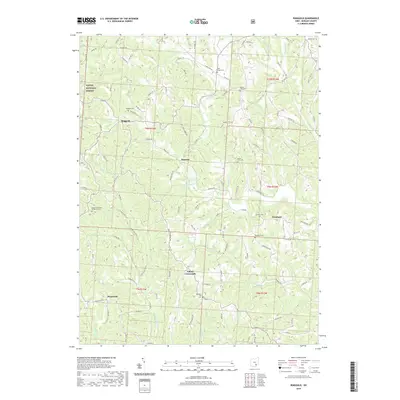
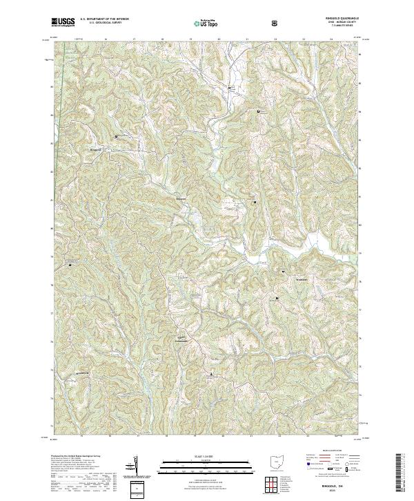
1961 Ringgold
Morgan County, OH
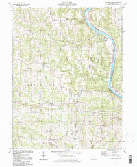
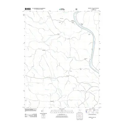
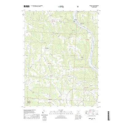
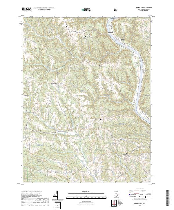
1961 Rokeby Lock
Morgan County, OH
1994 Mc Connelsville
Morgan County, OH
1994 Reinersville
Morgan County, OH
1994 Ringgold
Morgan County, OH
1994 Rokeby Lock
Morgan County, OH
2010 Reinersville
Morgan County, OH
2011 Ringgold
Morgan County, OH
2011 Rokeby Lock
Morgan County, OH
2013 Reinersville
Morgan County, OH
2013 Ringgold
Morgan County, OH
2013 Rokeby Lock
Morgan County, OH
2016 Reinersville
Morgan County, OH
2016 Ringgold
Morgan County, OH
2016 Rokeby Lock
Morgan County, OH
2019 Reinersville
Morgan County, OH
2019 Ringgold
Morgan County, OH
2019 Rokeby Lock
Morgan County, OH
2023 Reinersville
Morgan County, OH
2023 Ringgold
Morgan County, OH
2023 Rokeby Lock
Morgan County, OH