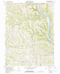
1961 Map of Rokeby Lock
USGS Topo · Published 1999About this map
The Muskingum River dominates the eastern boundary of this Morgan County landscape, serving as a primary corridor for the Baltimore and Ohio railroad and the namesake Rokeby Lock. This 1961 record, with 1975 revisions, illustrates a rural Ohio economy deeply tied to natural resources, evidenced by the Oil Field north of Triadelphia and numerous scattered Gas Wells.
Find a feature on this map
41 named features on this map. Tap any name to fly to it.
Don’t see what you’re looking for? This feature index may not catch every label — zoom into the map to look around manually.
Map Details
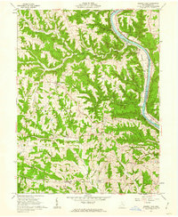
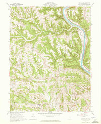
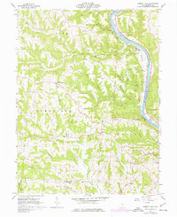
Editions of this 1961 Rokeby Lock Map
4 editions found
Other maps of this area

1910 · Philo
USGS Topo · 1:62,500

1910 · Zanesville
USGS Topo · 1:62,500

1910 · Mc Connelsville
USGS Topo · 1:62,500

1911 · New Lexington
USGS Topo · 1:62,500

1947 · Columbus
USGS Topo · 1:250,000

1949 · Clarksburg
USGS Topo · 1:250,000

1956 · Clarksburg
USGS Topo · 1:250,000

1961 · Columbus
USGS Topo · 1:250,000

1961 · Clarksburg
USGS Topo · 1:250,000

1961 · Mc Connelsville
USGS Topo · 1:24,000