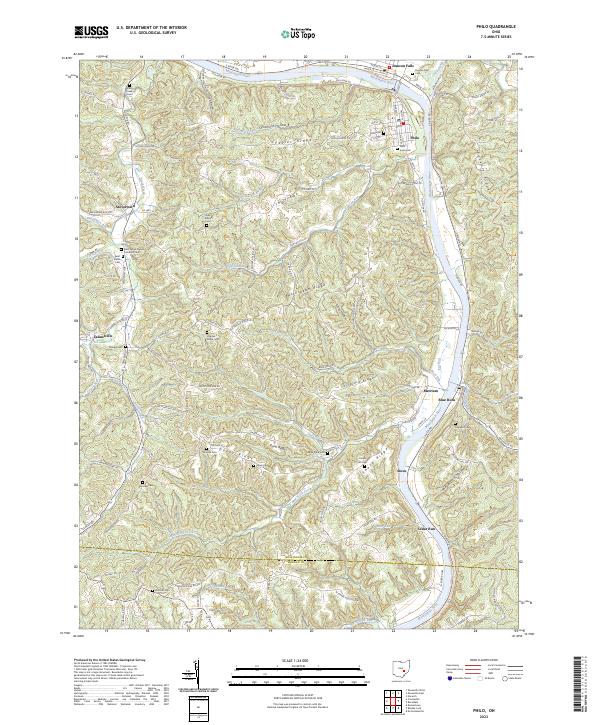
2023 Map of Philo
USGS Topo · Published 2023About this map
The Muskingum River flows through this corner of Ohio, defining the valley that connects the settlements of Philo and Duncan Falls. This area is characterized by a dense network of ridges and hollows, including Butterbean Ridge, Virginia Ridge, and Sycamore Hollow. The map reveals a deeply rooted rural landscape, evidenced by the high concentration of family and community burial grounds such as Virginia Ridge Cem, Saint Anns Cem, and the Saint Johns English Lutheran Cem.
Find a feature on this map
83 named features on this map. Tap any name to fly to it.
Don’t see what you’re looking for? This feature index may not catch every label — zoom into the map to look around manually.
Map Details
Editions of this 2023 Philo Map
This is the sole edition of this map. No revisions or reprints were ever made.
Other maps of this area

1910 · Philo
USGS Topo · 1:62,500

1910 · Zanesville
USGS Topo · 1:62,500

1910 · Mc Connelsville
USGS Topo · 1:62,500

1911 · New Lexington
USGS Topo · 1:62,500

1947 · Columbus
USGS Topo · 1:250,000

1949 · Clarksburg
USGS Topo · 1:250,000

1956 · Clarksburg
USGS Topo · 1:250,000

1961 · Columbus
USGS Topo · 1:250,000

1961 · Clarksburg
USGS Topo · 1:250,000

1961 · Mc Connelsville
USGS Topo · 1:24,000