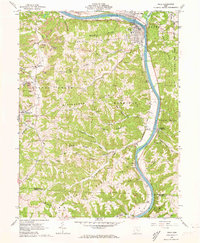
1961 Map of Philo
USGS Topo · Published 1973About this map
The Muskingum River dominates the eastern corridor of this region, serving as the primary geographic anchor for the riverfront communities of Philo and Duncan Falls. In the early 1960s, the landscape was defined by a complex extractive economy, where numerous Strip Mines and oil and gas wells dotted the high ridges between the river and Brush Creek. The Baltimore and Ohio railroad tracks follow the river's path, connecting the riverside hamlets to the industrial interior.
Find a feature on this map
57 named features on this map. Tap any name to fly to it.
Don’t see what you’re looking for? This feature index may not catch every label — zoom into the map to look around manually.
Map Details
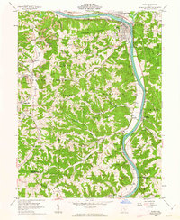
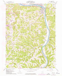
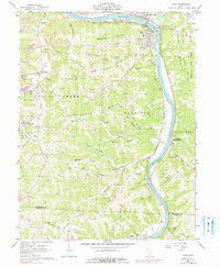
Editions of this 1961 Philo Map
4 editions found
Other maps of this area

1910 · Philo
USGS Topo · 1:62,500

1910 · Zanesville
USGS Topo · 1:62,500

1910 · Mc Connelsville
USGS Topo · 1:62,500

1911 · New Lexington
USGS Topo · 1:62,500

1947 · Columbus
USGS Topo · 1:250,000

1949 · Clarksburg
USGS Topo · 1:250,000

1956 · Clarksburg
USGS Topo · 1:250,000

1961 · Columbus
USGS Topo · 1:250,000

1961 · Clarksburg
USGS Topo · 1:250,000

1961 · Mc Connelsville
USGS Topo · 1:24,000