Loading...
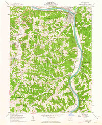
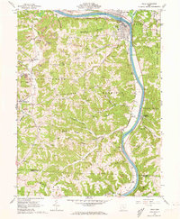
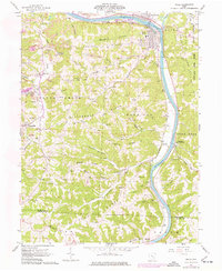
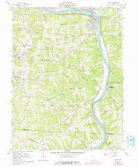
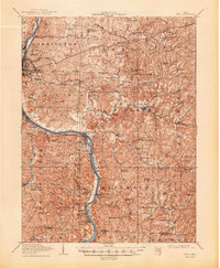
Loading map...1961 Map of Philo
USGS Topo · Published 1963About this map
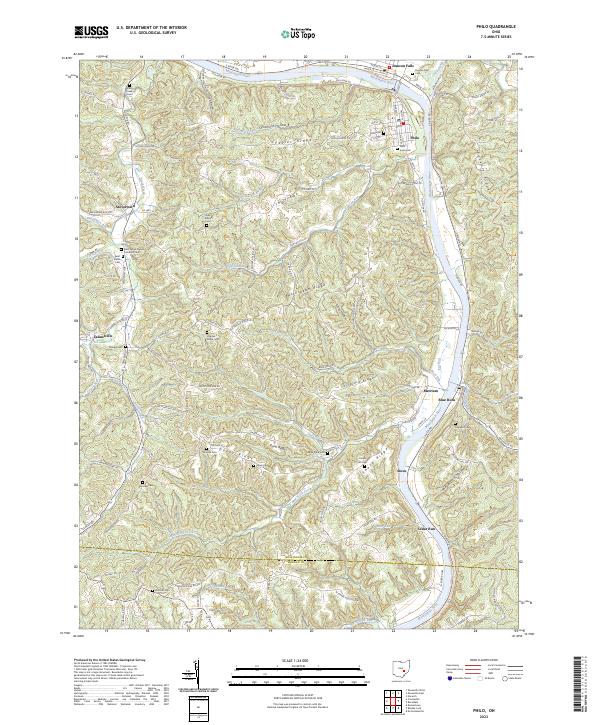
The Muskingum River dominates this 1961 landscape, winding southward past the industrial and residential hubs of Duncan Falls and Philo. The river serves as a major transportation corridor, flanked by the Baltimore and Ohio Railroad, which connects riverside settlements like Merriam and Durant. The terrain is characterized by deeply eroded ridges, including Fatler Ridge and Butterbean Ridge, where active extractive industries are visible through numerous labels for Strip Mines and oil wells.
Find a feature on this map
61 named features on this map. Tap any name to fly to it.
Don’t see what you’re looking for? This feature index may not catch every label — zoom into the map to look around manually.
Map Details
Date Portrayed1961
Date Published1963
PublisherU.S. Geological Survey
Map TypeTopographic
Scale1:24,000
Physical Dimensions22 x 26.8 inches
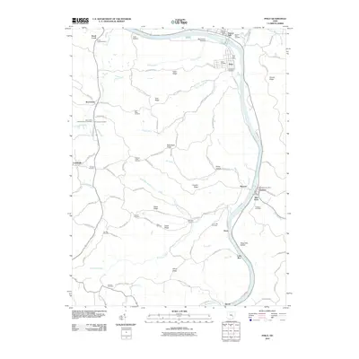
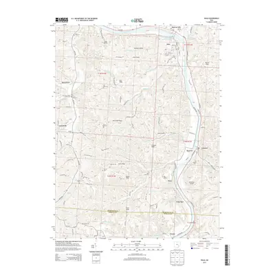
Editions of this 1961 Philo Map
4 editions found
Historical Maps of Brush Creek Through Time
8 maps found

Featured Locations
Source Details
SourceU.S. Geological Survey
CopyrightPublic Domain