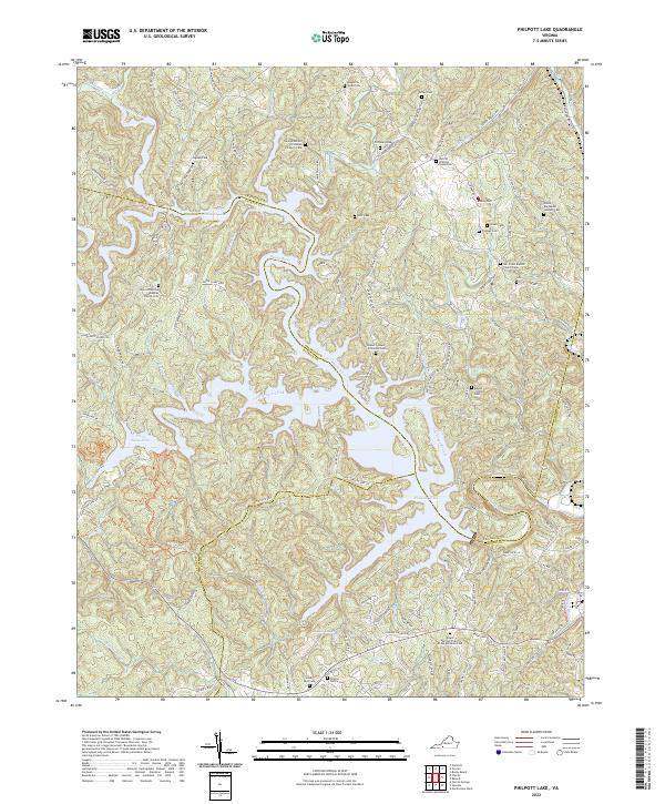
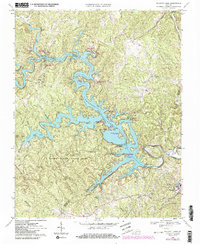
2022 Map of Philpott Lake
USGS Topo · Published 2022About this map
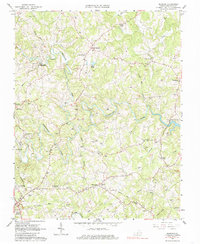
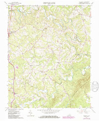
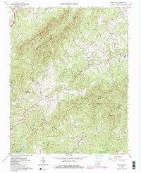
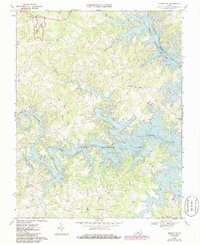
Philpott Lake and the Smith River dominate this modern topographic survey, where the boundaries of Franklin, Patrick, and Henry counties converge. The landscape is defined by the winding reservoir and its numerous inlets, such as Goblintown Creek and Rennet Bag Creek. For genealogists, the map is remarkably dense with family-named burial sites, including the George Martell Prillaman Family Cem, Stone - Bondurant - Johnson Cem, and the Ratcliff - Whitlow - Young Cem. These small cemeteries are scattered along ridges and old farm roads, often near historical congregations like the Union Primitive Baptist Church Cem. The western edge of the map features Fairy Stone Lake, part of the region's long-standing recreational landscape. The terrain remains characterized by named ridges like Johnnys Ridge and Thompson Ridge, illustrating the complex drainage patterns that feed into the central waterway system.
Find a feature on this map
135 named features on this map. Tap any name to fly to it.
Don’t see what you’re looking for? This feature index may not catch every label — zoom into the map to look around manually.
Map Details
Editions of this 2022 Philpott Lake Map
This is the sole edition of this map. No revisions or reprints were ever made.
Historical Maps of Bassett Through Time
16 maps found
1957 Endicott
Franklin County, VA
1963 Callaway
Franklin County, VA
1963 Hardy
Franklin County, VA
1963 Redwood
Franklin County, VA
1964 Gladehill
Franklin County, VA
1964 Snow Creek
Franklin County, VA
1967 Moneta SW
Franklin County, VA
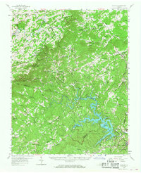
1967 Philpott Lake
Franklin County, VA
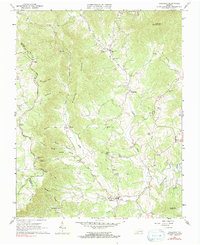
1977 Philpott Lake
Franklin County, VA
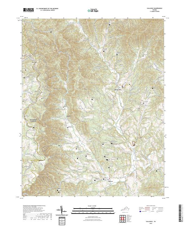
2022 Callaway
Franklin County, VA
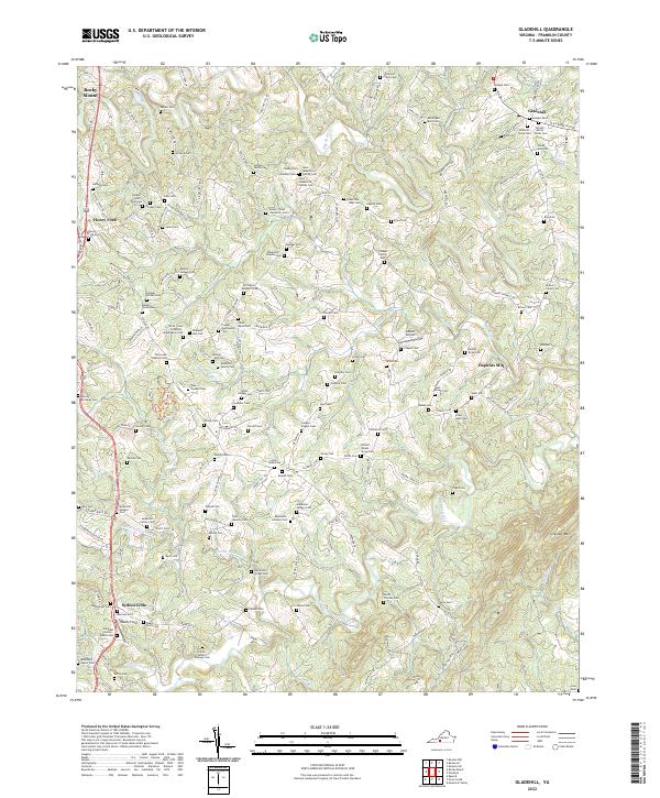
2022 Gladehill
Franklin County, VA
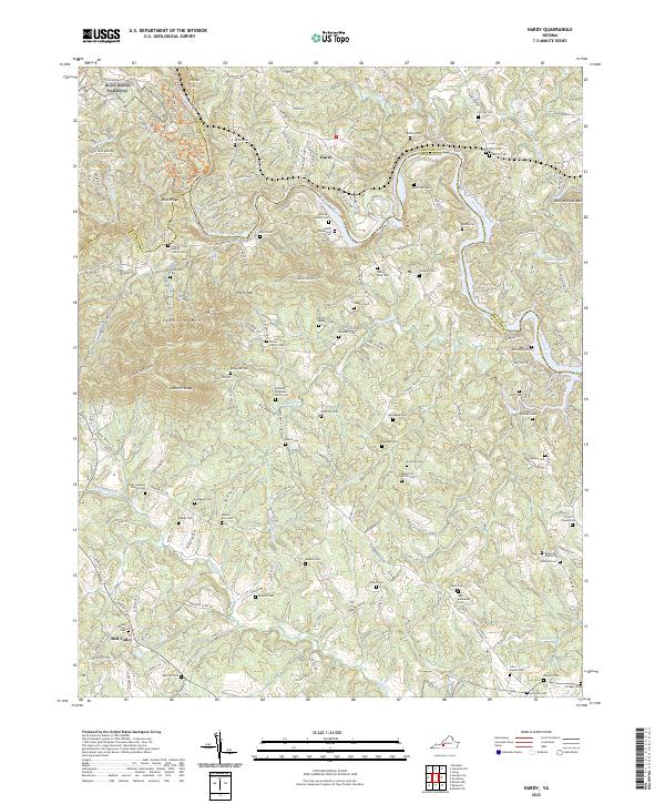
2022 Hardy
Franklin County, VA
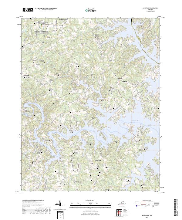
2022 Moneta SW
Franklin County, VA
2022 Philpott Lake
Franklin County, VA
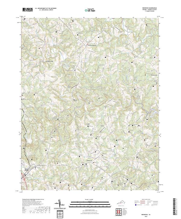
2022 Redwood
Franklin County, VA
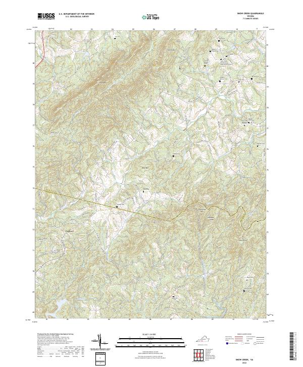
2022 Snow Creek
Franklin County, VA