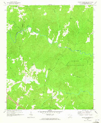
1969 Map of Philson Crossroads
USGS Topo · Published 1973About this map
Philson Crossroads sits at the center of this rural South Carolina landscape where the borders of Laurens, Spartanburg, and Union counties meet. The winding course of the Enoree River serves as a primary natural boundary, cutting through the wooded expanses of the Sumter National Forest. This 1969 field-checked survey reveals a settlement pattern defined by small rural churches and family cemeteries, suggesting a deeply rooted community structure even in the absence of large towns.
Find a feature on this map
30 named features on this map. Tap any name to fly to it.
Don’t see what you’re looking for? This feature index may not catch every label — zoom into the map to look around manually.
Map Details
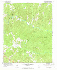
Editions of this 1969 Philson Crossroads Map
2 editions found
Other maps of this area

1941 · Spartanburg
USGS Topo · 1:250,000

1953 · Spartanburg
USGS Topo · 1:250,000

1960 · Spartanburg
USGS Topo · 1:250,000

1963 · Spartanburg
USGS Topo · 1:250,000

1964 · Spartanburg
USGS Topo · 1:250,000

1969 · Cross Anchor
USGS Topo · 1:24,000

1969 · Ora
USGS Topo · 1:24,000

1969 · Newberry NW
USGS Topo · 1:24,000
1969 · Enoree
USGS Topo · 1:24,000

1969 · Union West
USGS Topo · 1:24,000