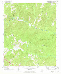
1969 Map of Philson Crossroads
USGS Topo · Published 1973About this map
Philson Crossroads sits at the heart of this Piedmont landscape, situated where the borders of Spartanburg, Laurens, and Union counties converge. The terrain is defined by the winding course of the Enoree River and its numerous tributaries, including Duncan Creek and Cedar Shoals Creek. Much of the eastern portion of the quadrangle is occupied by the Sumter National Forest, illustrating the mid-century land use patterns of the South Carolina upstate.
Find a feature on this map
27 named features on this map. Tap any name to fly to it.
Don’t see what you’re looking for? This feature index may not catch every label — zoom into the map to look around manually.
Map Details
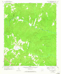
Editions of this 1969 Philson Crossroads Map
2 editions found
Other maps of this area

1941 · Spartanburg
USGS Topo · 1:250,000

1953 · Spartanburg
USGS Topo · 1:250,000

1960 · Spartanburg
USGS Topo · 1:250,000

1963 · Spartanburg
USGS Topo · 1:250,000

1964 · Spartanburg
USGS Topo · 1:250,000

1969 · Cross Anchor
USGS Topo · 1:24,000

1969 · Ora
USGS Topo · 1:24,000

1969 · Newberry NW
USGS Topo · 1:24,000
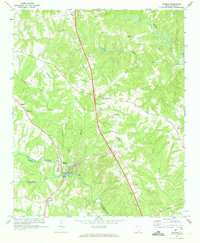
1969 · Enoree
USGS Topo · 1:24,000

1969 · Union West
USGS Topo · 1:24,000