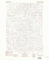
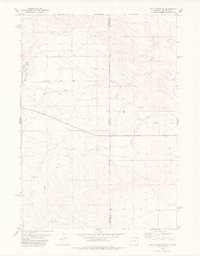
1982 Map of Phister Ranch
USGS Topo · Published 1982About this map
Buffalo Gap National Grassland dominates this landscape in southern South Dakota, where the drainage systems of Cottonwood Creek and Alum Creek carve through the prairie. The map provides a look at the area's mid-century utility, notably featuring an Ordnance Plant (Abandoned) located near the southern boundary. This site, along with the Phister Ranch, points to a history of both large-scale government land management and traditional livestock operations in Fall River County.
Find a feature on this map
14 named features on this map. Tap any name to fly to it.
Don’t see what you’re looking for? This feature index may not catch every label — zoom into the map to look around manually.
Map Details
Editions of this 1982 Phister Ranch Map
This is the sole edition of this map. No revisions or reprints were ever made.
Other maps of this area

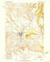
1902 · Edgemont
USGS Topo · 1:125,000
1950 · Edgemont
USGS Topo · 1:24,000
1950 · Edgemont SW
USGS Topo · 1:24,000

1955 · Hot Springs
USGS Topo · 1:250,000

1955 · Newcastle
USGS Topo · 1:250,000

1958 · Newcastle
USGS Topo · 1:250,000
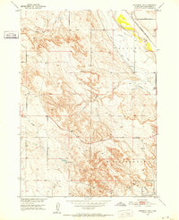
1978 · Coffee Flats
USGS Topo · 1:24,000

1978 · Oat Creek
USGS Topo · 1:24,000
1978 · Mule Creek SE
USGS Topo · 1:24,000
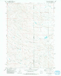
1981 · Lance Creek
USGS Topo · 1:100,000