
1946 Map of Phoenix
USGS Topo · Published 1965About this map
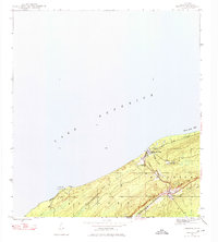
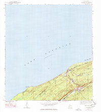
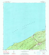
Eagle River sits at the mouth of its namesake waterway, serving as a focal point for this section of the Keweenaw Peninsula during the mid-twentieth century. The landscape is defined by the proximity of Lake Superior and the varied terrain of the Cliff and Sand Hills regions. To the south, the settlement of Phoenix marks a transition into the copper-bearing interior, while the infrastructure of the Keweenaw Central Railroad and an Old Grade reflect the industrial transport history of the Copper Country.
Find a feature on this map
24 named features on this map. Tap any name to fly to it.
Don’t see what you’re looking for? This feature index may not catch every label — zoom into the map to look around manually.
Map Details
Editions of this 1946 Phoenix Map
4 editions found
Other maps of this area

1938 · Bruneau Creek
USGS Topo · 1:31,680

1940 · Central
USGS Topo · 1:31,680

1941 · Ahmeek
USGS Topo · 1:31,680

1941 · Mohawk
USGS Topo · 1:31,680

1946 · Bruneau Creek
USGS Topo · 1:24,000

1946 · Mohawk
USGS Topo · 1:24,000

1946 · Eagle Harbor
USGS Topo · 1:24,000

1946 · Ahmeek
USGS Topo · 1:24,000

1947 · Phoenix
USGS Topo · 1:24,000

1947 · Ahmeek
USGS Topo · 1:24,000