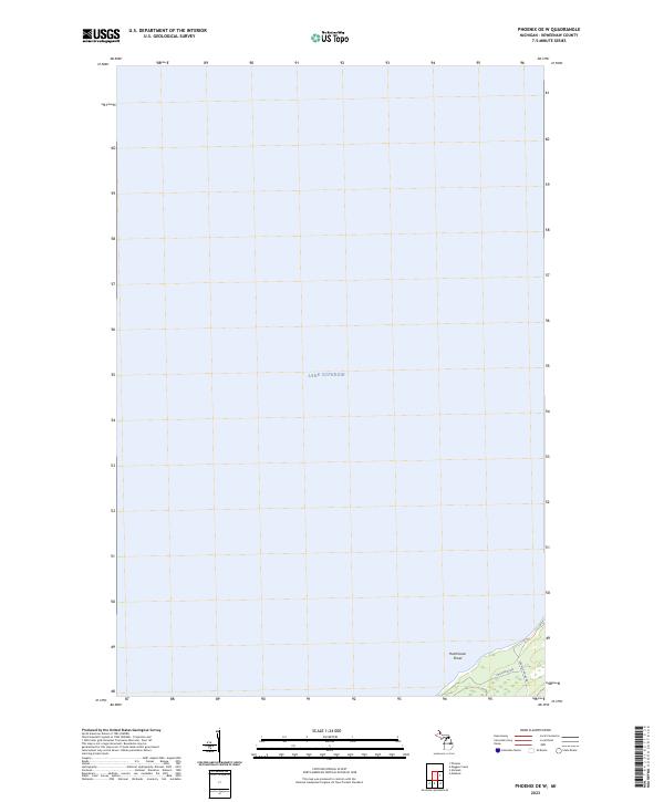
2023 Map of Phoenix OE W
USGS Topo · Published 2023About this map
Lake Superior dominates the northern reaches of this coastal quadrangle, representing the cold, deep waters off Michigan's Keweenaw Peninsula. The map focuses on the offshore environment, specifically identifying the Hutchinson Shoal as a significant submerged feature that has historically posed a hazard to navigation in this stretch of the Great Lakes.
Find a feature on this map
9 named features on this map. Tap any name to fly to it.
Don’t see what you’re looking for? This feature index may not catch every label — zoom into the map to look around manually.
Map Details
Editions of this 2023 Phoenix OE W Map
This is the sole edition of this map. No revisions or reprints were ever made.
Other maps of this area

1941 · Ahmeek
USGS Topo · 1:31,680

1941 · Mohawk
USGS Topo · 1:31,680

1946 · Phoenix
USGS Topo · 1:24,000

1946 · Mohawk
USGS Topo · 1:24,000

1946 · Muggun Creek
USGS Topo · 1:24,000

1946 · Ahmeek
USGS Topo · 1:24,000

1947 · Phoenix
USGS Topo · 1:24,000

1947 · Ahmeek
USGS Topo · 1:24,000
1948 · Muggun Creek
USGS Topo · 1:24,000
1948 · Mohawk
USGS Topo · 1:24,000