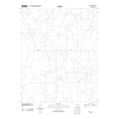
2010 Map of Phroso
USGS Topo · Published 2010About this map
The Oklahoma plains north of Phroso appear as a structured landscape of section roads and drainage networks in this 2010 survey. The area is defined by the headwaters and branches of Griever Creek and Barney Creek, which dictate the local topography between the grid of agricultural roads. For genealogists and local historians, the map serves as a vital record of three distinct community sites: Mount Zion Cemetery in the west, Antioch Cemetery near the center, and Golden Lodge Cemetery in the southeast. These cemeteries, alongside a strictly defined road system including n2350 RD and e0480 RD, reflect the long-standing rural settlement patterns of Major County. The absence of concentrated town centers highlights the area's primary character as a dispersed farming and ranching territory where local identity centers on these historic burial grounds and the seasonal flow of the creeks.
Find a feature on this map
22 named features on this map. Tap any name to fly to it.
Don’t see what you’re looking for? This feature index may not catch every label — zoom into the map to look around manually.
Map Details
Editions of this 2010 Phroso Map
This is the sole edition of this map. No revisions or reprints were ever made.
Other maps of this area

1955 · Woodward
USGS Topo · 1:250,000

1958 · Woodward
USGS Topo · 1:250,000

1969 · Phroso
USGS Topo · 1:24,000

1969 · Belva
USGS Topo · 1:24,000

1969 · Glass Mountains NW
USGS Topo · 1:24,000

1969 · Cedardale
USGS Topo · 1:24,000

1969 · Togo
USGS Topo · 1:24,000

1969 · Glass Mountains SW
USGS Topo · 1:24,000

1972 · Canton NW
USGS Topo · 1:24,000

1972 · Seiling
USGS Topo · 1:24,000