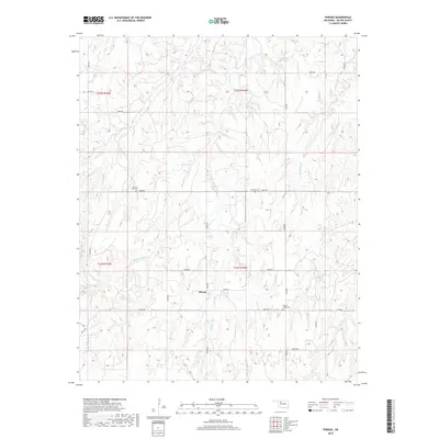
2018 Map of Phroso
USGS Topo · Published 2018About this map
The small settlement of Phroso sits at the heart of this rural Major County landscape, where the agricultural grid meets the drainage systems of the Cimarron River watershed. A cluster of historic burial sites, including Mount Zion Cem, Antioch Cem, and Golden Lodge Cem, are positioned along the section lines, reflecting the early 20th-century community nodes that once supported local homesteaders. The terrain is defined by the winding paths of Griever Cr and its tributaries, such as Middle Griever Cr and E Griever Cr, which carve through the plains. The road network, including n2320 RD and e0480 RD, follows the Public Land Survey System, providing access to the isolated farmsteads that have long characterized this portion of northwestern Oklahoma.
Find a feature on this map
28 named features on this map. Tap any name to fly to it.
Don’t see what you’re looking for? This feature index may not catch every label — zoom into the map to look around manually.
Map Details
Editions of this 2018 Phroso Map
This is the sole edition of this map. No revisions or reprints were ever made.
Other maps of this area

1955 · Woodward
USGS Topo · 1:250,000

1958 · Woodward
USGS Topo · 1:250,000

1969 · Phroso
USGS Topo · 1:24,000

1969 · Belva
USGS Topo · 1:24,000

1969 · Glass Mountains NW
USGS Topo · 1:24,000

1969 · Cedardale
USGS Topo · 1:24,000

1969 · Togo
USGS Topo · 1:24,000

1969 · Glass Mountains SW
USGS Topo · 1:24,000

1972 · Canton NW
USGS Topo · 1:24,000

1972 · Seiling
USGS Topo · 1:24,000