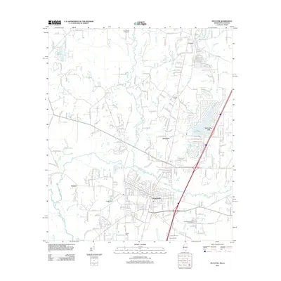
2012 Map of Picayune
USGS Topo · Published 2012About this map
Picayune serves as the focal point of this Mississippi landscape, situated just east of the Pearl River bottomlands. The grid of the city transitions into surrounding settlements like Carriere and Richardson, revealing the 21st-century residential patterns of Pearl River County. Waterways define the local geography, with W Hobolochitto Cr and E Hobolochitto Cr flanking the urban center. A significant cultural and ecological feature is the Crosby Arboretum and its Pincote Pavilion located south of the main city limits, preserving the botanical heritage of the Piney Woods region.
Find a feature on this map
233 named features on this map. Tap any name to fly to it.
Don’t see what you’re looking for? This feature index may not catch every label — zoom into the map to look around manually.
Map Details
Editions of this 2012 Picayune Map
This is the sole edition of this map. No revisions or reprints were ever made.
Other maps of this area

1914 · Nicholson
USGS Topo · 1:62,500

1921 · Nicholson
USGS Topo · 1:62,500

1935 · Slidell
USGS Topo · 1:62,500

1939 · Slidell
USGS Topo · 1:62,500

1941 · Honey Island
USGS Topo · 1:31,680

1942 · Walkiah Bluff
USGS Topo · 1:31,680

1942 · Pools Bluff
USGS Topo · 1:31,680

1950 · Slidell
USGS Topo · 1:62,500

1953 · Mobile
USGS Topo · 1:250,000

1955 · Nicholson
USGS Topo · 1:24,000