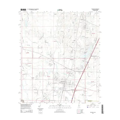
2015 Map of Picayune
USGS Topo · Published 2015About this map
The city of Picayune serves as the central hub of this Pearl River County survey, where the convergence of the West Hobolochitto Creek and East Hobolochitto Creek defines the local drainage and topography. This area is characterized by a dense network of suburban and rural residential developments extending northward into Carriere, Ozona, and Richardson. The map documents the extensive modern road system, including the prominent interstate corridor and local routes like Palestine Rd and Hickory Nut Dr.
Find a feature on this map
237 named features on this map. Tap any name to fly to it.
Don’t see what you’re looking for? This feature index may not catch every label — zoom into the map to look around manually.
Map Details
Editions of this 2015 Picayune Map
This is the sole edition of this map. No revisions or reprints were ever made.
Other maps of this area

1914 · Nicholson
USGS Topo · 1:62,500

1921 · Nicholson
USGS Topo · 1:62,500

1935 · Slidell
USGS Topo · 1:62,500

1939 · Slidell
USGS Topo · 1:62,500

1941 · Honey Island
USGS Topo · 1:31,680

1942 · Walkiah Bluff
USGS Topo · 1:31,680

1942 · Pools Bluff
USGS Topo · 1:31,680

1950 · Slidell
USGS Topo · 1:62,500

1953 · Mobile
USGS Topo · 1:250,000

1955 · Nicholson
USGS Topo · 1:24,000