
1913 Map of Pickens
USGS Topo · Published 1913About this map
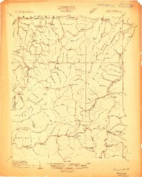
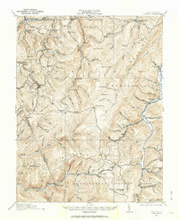
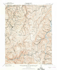
The Pickens settlement serves as a focal point for this 1913 survey, where the convergence of several specialized railroads underscores the era's intensive timber and resource extraction. The B & O RR is joined by the Alexander and Eastern RR, the Pickens and Hacker Valley RR, and the Chemical and Helvetia RR, forming a complex transportation network through the high-elevation terrain of Point Mountain and Elk Mountain.
Find a feature on this map
33 named features on this map. Tap any name to fly to it.
Don’t see what you’re looking for? This feature index may not catch every label — zoom into the map to look around manually.
Map Details
Editions of this 1913 Pickens Map
4 editions found
Other maps of this area

1889 · Beverly
USGS Topo · 1:125,000

1891 · Huntersville
USGS Topo · 1:125,000

1892 · Beverly
USGS Topo · 1:125,000

1893 · Buckhannon
USGS Topo · 1:125,000

1894 · Huntersville
USGS Topo · 1:125,000

1896 · Buckhannon
USGS Topo · 1:125,000

1897 · Buckhannon
USGS Topo · 1:125,000

1901 · Monterey
USGS Topo · 1:125,000

1909 · Elkins
USGS Topo · 1:62,500

1912 · Sago
USGS Topo · 1:48,000