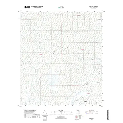
2018 Map of Pickett Bay
USGS Topo · Published 2018About this map
Carrabelle sits at the southern edge of this landscape, positioned where the Crooked River and several major sloughs meet the coastal lowlands of Franklin County. The area is defined by an intricate network of moving water and wetlands, including Pickett Bay and the distinctive Thousand Yard Bay. The interior is crisscrossed by numerous forest and logging roads, such as Gully Branch Rd, Number Three Rd, and Pine Log Rd, which hint at the region's timber industry history. On Saint James Island, the map details the winding course of Sunday Rollway Cr and Mill Pond Br, illustrating the transition from upland pine flatwoods to the tidal marshes. Landforms like Saw Bluff and Waldon Lake provide specific topographic markers in an otherwise level coastal plain dominated by drainage features like Alligator Cr and the New River.
Find a feature on this map
42 named features on this map. Tap any name to fly to it.
Don’t see what you’re looking for? This feature index may not catch every label — zoom into the map to look around manually.
Map Details
Editions of this 2018 Pickett Bay Map
This is the sole edition of this map. No revisions or reprints were ever made.
Other maps of this area
1943 · Dog Island
USGS Topo · 1:31,680
1943 · Carrabelle
USGS Topo · 1:24,000
1944 · Pickett Bay
USGS Topo · 1:31,680
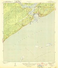
1944 · Carrabelle
USGS Topo · 1:31,680
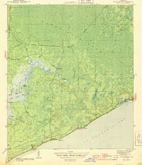
1944 · Green Point
USGS Topo · 1:31,680
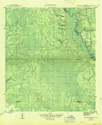
1945 · Thousand Yard Bay
USGS Topo · 1:31,680
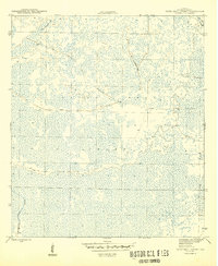
1945 · Tates Hell Swamp
USGS Topo · 1:31,680
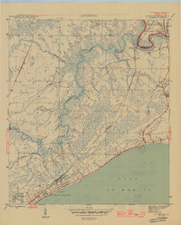
1945 · Mc Intyre
USGS Topo · 1:31,680
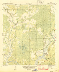
1945 · Pickett Bay
USGS Topo · 1:31,680
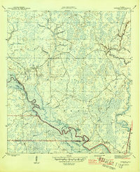
1945 · Sanborn
USGS Topo · 1:31,680