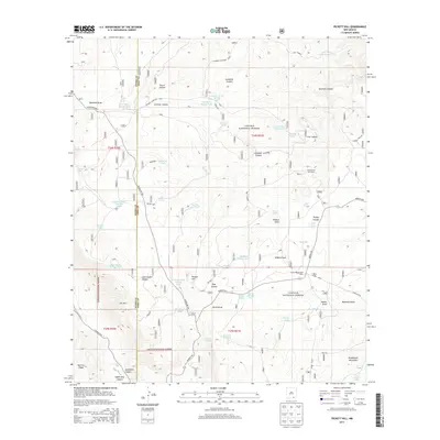
2013 Map of Pickett Hill
USGS Topo · Published 2013About this map
Lincoln National Forest land defines this corner of the Guadalupe Mountains in southern New Mexico, where the abrupt geography of the Guadalupe Rim and The Rim dominates the landscape. This 2013 survey illustrates the critical role of water management in a high-desert environment, evidenced by a dense network of catchments and storage points such as the Price Water Storage Tank, Locklear Water Storage Tank, and Irabarne Water Storage Tank.
Find a feature on this map
54 named features on this map. Tap any name to fly to it.
Don’t see what you’re looking for? This feature index may not catch every label — zoom into the map to look around manually.
Map Details
Editions of this 2013 Pickett Hill Map
This is the sole edition of this map. No revisions or reprints were ever made.
Other maps of this area
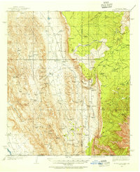
1935 · El Paso Gap
USGS Topo · 1:62,500
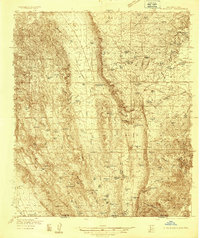
1936 · El Paso Gap
USGS Topo · 1:48,000
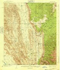
1940 · El Paso Gap
USGS Topo · 1:62,500
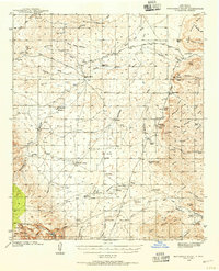
1940 · Bandanna Point
USGS Topo · 1:62,500
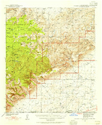
1940 · Carlsbad Caverns West
USGS Topo · 1:62,500
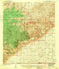
1943 · Carlsbad Caverns West
USGS Topo · 1:62,500
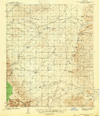
1943 · Bandanna Point
USGS Topo · 1:62,500
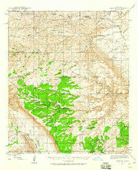
1943 · Texas Hill
USGS Topo · 1:62,500
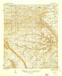
1945 · Texas Hill
USGS Topo · 1:62,500

1954 · Carlsbad
USGS Topo · 1:250,000