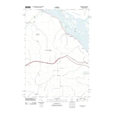
2010 Map of Pickwick
USGS Topo · Published 2010About this map
The Mississippi River corridor shapes the eastern edge of this landscape, where prominent overlooks like Queens Bluff and Kings Bluff stand high above the water. In the valley below, the Pickwick Post Office and Pickwick Dam mark a long-established settlement on Big Trout Creek. The interior is defined by a series of detention dams, including the Victor Gunderson-Marmsoler Detention Dam, which manage the drainage from upland areas like Husman Ridge down into the surrounding valleys.
Find a feature on this map
58 named features on this map. Tap any name to fly to it.
Don’t see what you’re looking for? This feature index may not catch every label — zoom into the map to look around manually.
Map Details
Editions of this 2010 Pickwick Map
This is the sole edition of this map. No revisions or reprints were ever made.
Other maps of this area

1929 · Fountain City
USGS Topo · 1:62,500

1929 · Galesville
USGS Topo · 1:62,500

1930 · La Crescent
USGS Topo · 1:62,500

1934 · Winona
USGS Topo · 1:62,500

1937 · Winona
USGS Topo · 1:62,500

1953 · Eau Claire
USGS Topo · 1:250,000

1956 · La Crescent
USGS Topo · 1:62,500

1958 · Eau Claire
USGS Topo · 1:250,000

1958 · Houston
USGS Topo · 1:62,500

1958 · La Crosse
USGS Topo · 1:250,000