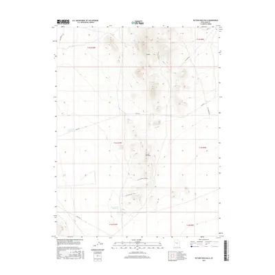
2017 Map of Picture Rock Hills
USGS Topo · Published 2017About this map
Keg Mtn and the Picture Rock Hills dominate this arid Juab County landscape, where elevation changes and remote access routes define the character of the terrain. The presence of Kane Spring suggests an essential water source for early travelers and livestock in this high desert environment, while the man-made Lower Topaz Reservoir and Picture Rock Reservoir indicate more modern attempts to manage water resources for this dry region.
Find a feature on this map
20 named features on this map. Tap any name to fly to it.
Don’t see what you’re looking for? This feature index may not catch every label — zoom into the map to look around manually.
Map Details
Editions of this 2017 Picture Rock Hills Map
This is the sole edition of this map. No revisions or reprints were ever made.
Other maps of this area

1885 · Sevier Desert
USGS Topo · 1:250,000
1908 · Fish Springs
USGS Topo · 1:250,000
1910 · Fish Springs
USGS Topo · 1:250,000
1953 · Dugway Pass
USGS Topo · 1:24,000
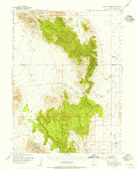
1953 · Dugway Range
USGS Topo · 1:62,500
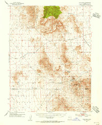
1953 · Topaz Mtn
USGS Topo · 1:62,500

1953 · Delta
USGS Topo · 1:250,000

1958 · Delta
USGS Topo · 1:250,000

1962 · Delta
USGS Topo · 1:250,000
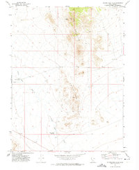
1971 · Picture Rock Hills
USGS Topo · 1:24,000