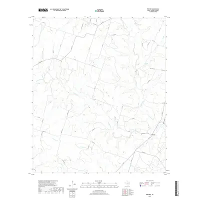
2019 Map of Pidcoke
USGS Topo · Published 2019About this map
Pidcoke serves as the central settlement in this rural pocket of Coryell County, where the landscape is defined by the winding paths of several significant watercourses. The local road network, including FM 1783, FM 580, and numerous county roads like Slater Rd, connects scattered homesteads across a terrain marked by deep draws and creek beds. Cowhouse Creek and Bee House Cr drain much of the area, creating a complex system of valleys such as Waddle Hollow. For those researching local heritage, the Pidcoke Cem near the intersection of several farm-to-market roads provides a primary genealogical focal point. The mapping reflects a traditional Texas Hill Country ranching and farming community structure, with named drainage features like Patterson Br and Perryman Cr serving as long-standing landmarks for property boundaries and travel routes.
Find a feature on this map
53 named features on this map. Tap any name to fly to it.
Don’t see what you’re looking for? This feature index may not catch every label — zoom into the map to look around manually.
Map Details
Editions of this 2019 Pidcoke Map
This is the sole edition of this map. No revisions or reprints were ever made.
Other maps of this area
1887 · Lampasas
USGS Topo · 1:125,000
1894 · Lampasas
USGS Topo · 1:125,000
1894 · Gatesville
USGS Topo · 1:125,000
1947 · Fort Hood
USGS Topo · 1:62,500
1947 · Fort Hood
USGS Topo · 1:24,000
1947 · Purmela
USGS Topo · 1:62,500
1947 · Gatesville West
USGS Topo · 1:24,000
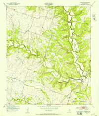
1947 · Pidcoke
USGS Topo · 1:24,000
1947 · Purmela
USGS Topo · 1:24,000
1947 · Shell Mountains
USGS Topo · 1:24,000