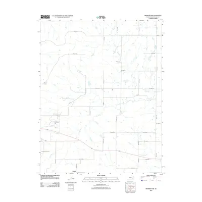
2012 Map of Piedmont NW
USGS Topo · Published 2012About this map
The settlement of Blodgett sits at the southern edge of this Greenwood County landscape, where the prairie meets an active energy landscape. The region is defined by the Beaumont Oil Field and the Beaumont South Oil Field, showing the infrastructure of the local petroleum industry. Much of the terrain is drained by the branches of Otter Creek, specifically the N Br Otter Cr and S Br Otter Cr, which weave between a rigid grid of township roads. To the northwest, the prominent rise of Temple Knob provides a rare point of elevation in a land largely characterized by wide drainage basins and small watercourses like Watson Br and Kitty Cr. Local history is anchored by Star Cem, a small burial ground situated near the crossing of Co Rd 24 and Twp Hwy 432.
Find a feature on this map
41 named features on this map. Tap any name to fly to it.
Don’t see what you’re looking for? This feature index may not catch every label — zoom into the map to look around manually.
Map Details
Editions of this 2012 Piedmont NW Map
This is the sole edition of this map. No revisions or reprints were ever made.
Other maps of this area
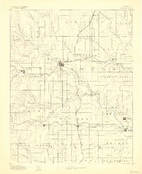
1885 · Eureka
USGS Topo · 1:125,000
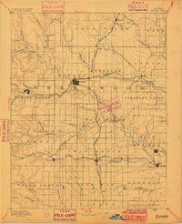
1888 · Eureka
USGS Topo · 1:125,000
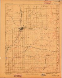
1888 · Eldorado
USGS Topo · 1:125,000
1894 · Eureka
USGS Topo · 1:125,000
1955 · Wichita
USGS Topo · 1:250,000
1958 · Wichita
USGS Topo · 1:250,000
1961 · Rosalia
USGS Topo · 1:24,000
1964 · Piedmont SW
USGS Topo · 1:24,000
1964 · Piedmont NW
USGS Topo · 1:24,000
1964 · Beaumont
USGS Topo · 1:24,000