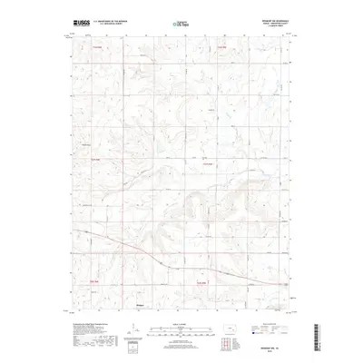
2018 Map of Piedmont NW
USGS Topo · Published 2018About this map
Blodgett sits at the intersection of rural roads in the southwestern portion of this Greenwood County landscape, where the prairie begins to break into the drainage systems of the Otter Creek watershed. The terrain is defined by the branching tributaries of N Br Otter Cr and S Br Otter Cr, which carve subtle valleys across the Flint Hills region. Cultural landmarks such as the Star Cem and the distinctive Temple Knob rise above the section lines, marking the long-standing agricultural boundaries of Townships 26, 27, and 28 South.
Find a feature on this map
58 named features on this map. Tap any name to fly to it.
Don’t see what you’re looking for? This feature index may not catch every label — zoom into the map to look around manually.
Map Details
Editions of this 2018 Piedmont NW Map
This is the sole edition of this map. No revisions or reprints were ever made.
Other maps of this area
1885 · Eureka
USGS Topo · 1:125,000
1888 · Eureka
USGS Topo · 1:125,000
1888 · Eldorado
USGS Topo · 1:125,000
1894 · Eureka
USGS Topo · 1:125,000
1955 · Wichita
USGS Topo · 1:250,000
1958 · Wichita
USGS Topo · 1:250,000
1961 · Rosalia
USGS Topo · 1:24,000
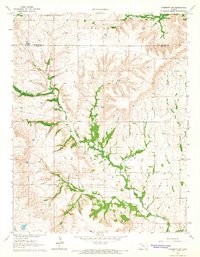
1964 · Piedmont SW
USGS Topo · 1:24,000
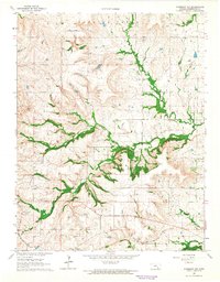
1964 · Piedmont NW
USGS Topo · 1:24,000
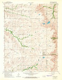
1964 · Beaumont
USGS Topo · 1:24,000