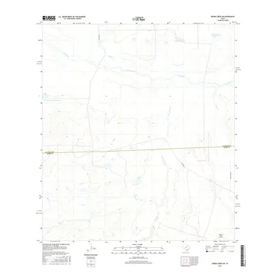
2016 Map of Piedra Creek SW
USGS Topo · Published 2016About this map
The Nueces River winds across this south Texas landscape, defining the topography of the northern portion of the quadrangle. This area, spanning the La Salle Co Webb Co line, is characterized by its ranching infrastructure and intermittent water management systems. Numerous water tanks, such as Dobie Ranch Tank Number 1 and its numbered counterparts, dot the terrain to support local operations in a region drained by seasonal waterways like Sauz Cr and San Casimiro Cr. Transportation through this rural corridor is primarily facilitated by unpaved routes including Huajuco Rd and Withers Rd, while the Seven C's Ranch Airport in the southeast corner provides a point of aerial access for these remote ranching lands.
Find a feature on this map
12 named features on this map. Tap any name to fly to it.
Don’t see what you’re looking for? This feature index may not catch every label — zoom into the map to look around manually.
Map Details
Editions of this 2016 Piedra Creek SW Map
This is the sole edition of this map. No revisions or reprints were ever made.
Other maps of this area
1929 · Cotulla
USGS Topo · 1:125,000

1953 · Crystal City
USGS Topo · 1:250,000

1955 · Crystal City
USGS Topo · 1:250,000
1956 · Becerra
USGS Topo · 1:62,500
1956 · Piedra Creek
USGS Topo · 1:62,500
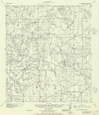
1956 · Las Mujeres
USGS Topo · 1:62,500

1956 · Laredo
USGS Topo · 1:250,000
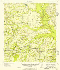
1957 · Caiman Creek
USGS Topo · 1:62,500
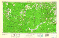
1961 · Crystal City
USGS Topo · 1:250,000
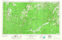
1968 · Crystal City
USGS Topo · 1:250,000