2021 Map of Pierce
USGS Topo · Published 2021About this map
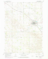
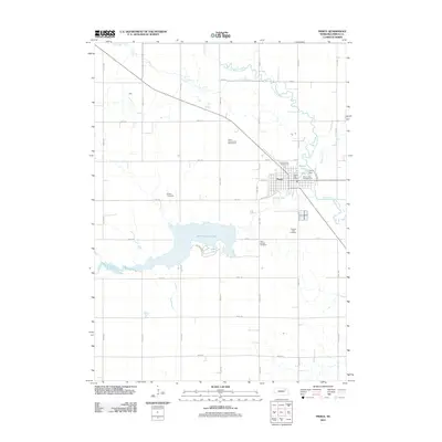
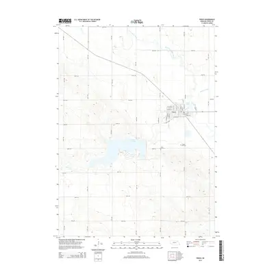
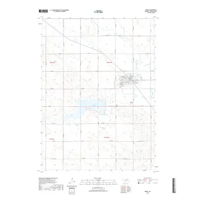
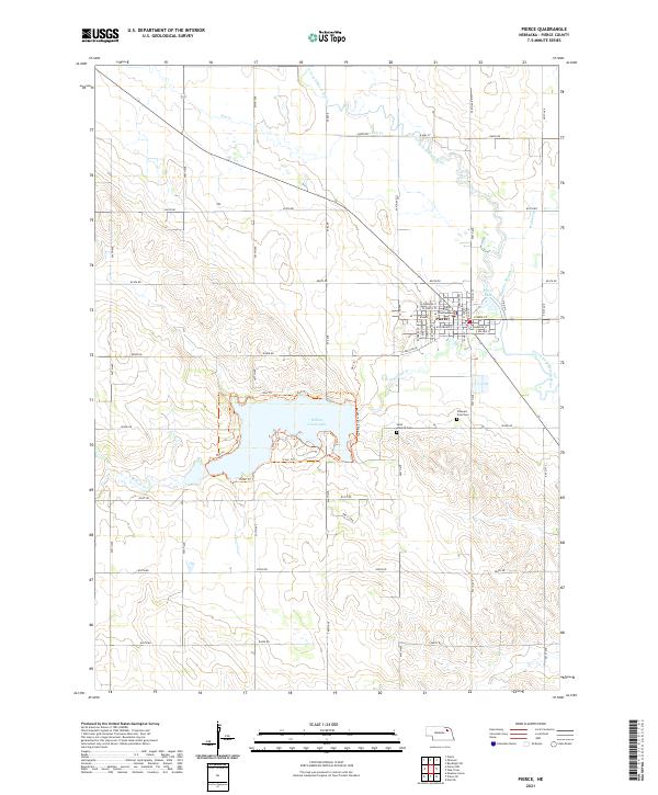
The city of Pierce, the seat of Pierce County, serves as the primary hub of this eastern Nebraska landscape. Centered around the Pierce County Courthouse, the town layout features a dense grid of streets including W Main St and N Mill St, leading outward toward the North Fork Elkhorn River. To the south, the expansive Willow Creek Lake dominates the terrain, offering a network of paths like One Trl and Two Trl along its northern shores. The agricultural heritage of the region is evident in the systematic road numbering and the presence of several cemeteries, notably Saint Josephs Cem and Prospect View Cem, which provide valuable location data for local historians. Water features such as Yankton Slough and Dry Cr highlight the drainage patterns that have historically shaped this farming community.
Find a feature on this map
45 named features on this map. Tap any name to fly to it.
Don’t see what you’re looking for? This feature index may not catch every label — zoom into the map to look around manually.
Map Details
Editions of this 2021 Pierce Map
This is the sole edition of this map. No revisions or reprints were ever made.
Historical Maps of Pierce Through Time
5 maps found