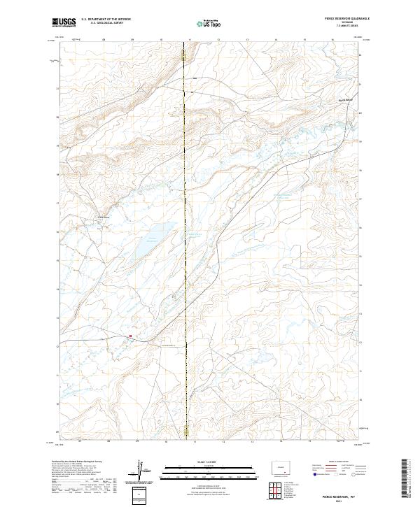
2021 Map of Pierce Reservoir
USGS Topo · Published 2021About this map
The high plains of the Carbon and Albany County border are defined by a complex network of water management features designed to sustain this arid Wyoming landscape. Water from Rock Creek and the Rock River is diverted through a series of named irrigation works, including the Bosler Ditch Number 3, Big Harrison Ditch, and the John White Enlargement Ditch. These systems feed crucial local storage sites such as Whiskey Number 1 Reservoir and the namesake Pierce Reservoir.
Find a feature on this map
27 named features on this map. Tap any name to fly to it.
Don’t see what you’re looking for? This feature index may not catch every label — zoom into the map to look around manually.
Map Details
Editions of this 2021 Pierce Reservoir Map
This is the sole edition of this map. No revisions or reprints were ever made.
Other maps of this area

1915 · Como Ridge
USGS Topo · 1:48,000

1918 · Como Ridge
USGS Topo · 1:62,500

1954 · Cheyenne
USGS Topo · 1:250,000

1954 · Rawlins
USGS Topo · 1:250,000

1955 · Big Judson
USGS Topo · 1:24,000

1955 · Rock River
USGS Topo · 1:24,000

1955 · Wilcox
USGS Topo · 1:24,000

1958 · Rawlins
USGS Topo · 1:250,000

1958 · Cheyenne
USGS Topo · 1:250,000

1958 · Bengough Hill
USGS Topo · 1:24,000