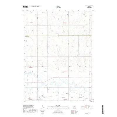
2017 Map of Pierce SE
USGS Topo · Published 2017About this map
Battle Creek sits at the southern edge of this Madison County landscape, where the confluence of Battle Creek and the Elkhorn River dictates the local geography. The town's grid is anchored by Saint Patricks Cemetery, reflecting the area's deep-rooted community history. North of the river, the terrain transitions into the high plains of Pierce County, marked by a precise network of section-line roads like 848th Road and 547th Avenue. This 2017 survey captures a modern agricultural landscape that still honors its historic transit routes, most notably the Cowboy Trail that parallels the river. Other local landmarks include the B C Air Airport and the smaller Best Cemetery, located near the county line among the drainage patterns of Hadar Creek.
Find a feature on this map
41 named features on this map. Tap any name to fly to it.
Don’t see what you’re looking for? This feature index may not catch every label — zoom into the map to look around manually.
Map Details
Editions of this 2017 Pierce SE Map
This is the sole edition of this map. No revisions or reprints were ever made.
Other maps of this area
1955 · Sioux City
USGS Topo · 1:250,000
1955 · Fremont
USGS Topo · 1:250,000
1957 · Fremont
USGS Topo · 1:250,000
1958 · Sioux City
USGS Topo · 1:250,000
1958 · Fremont
USGS Topo · 1:250,000
1959 · Sioux City
USGS Topo · 1:250,000
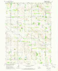
1963 · Pierce NW
USGS Topo · 1:24,000
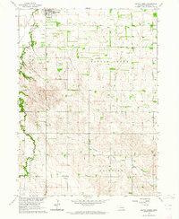
1963 · Battle Creek
USGS Topo · 1:24,000
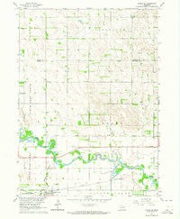
1963 · Pierce SE
USGS Topo · 1:24,000
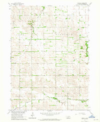
1963 · Emerick
USGS Topo · 1:24,000