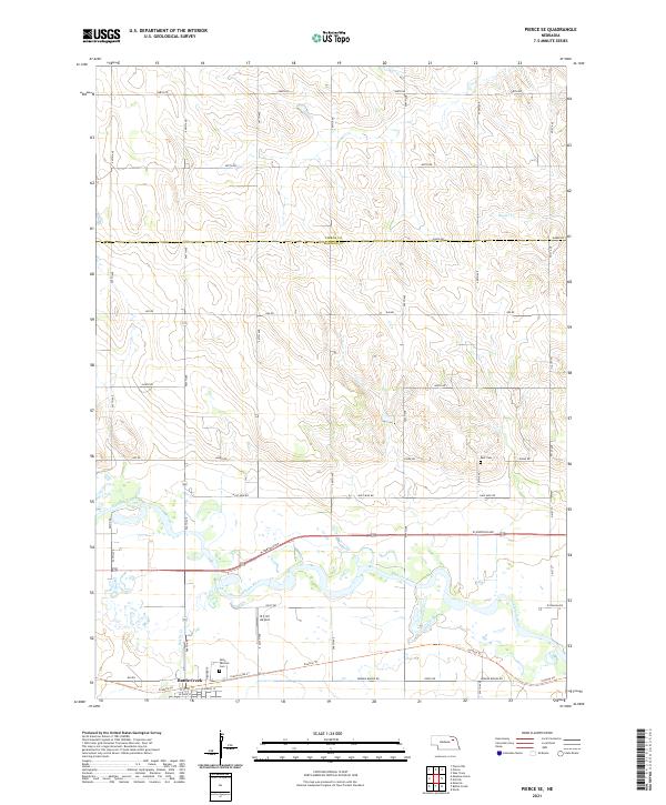
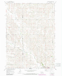
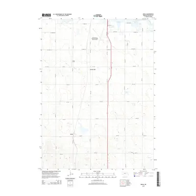
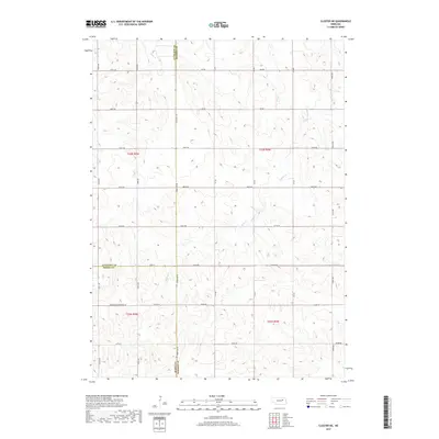
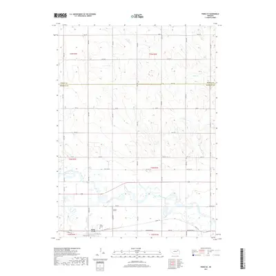
2021 Map of Pierce SE
USGS Topo · Published 2021About this map
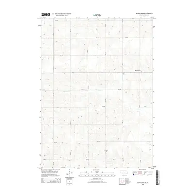
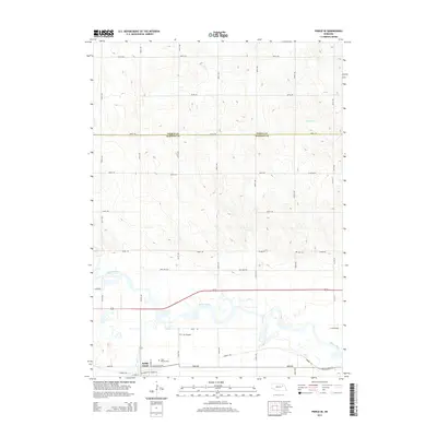
The settlement of Battle Creek serves as a focal point in this portion of Madison County, where the Battle Creek waterway joins the larger Elkhorn River valley. This agricultural landscape is defined by its section-line road grid, including W Norfolk Ave and W Omaha Ave, which facilitate movement across the rolling Nebraska terrain. Near the town center, Saint Patricks Cem and local streets like W Front St and E McAllister St mark the historic footprint of the community. To the north, the county line between Pierce Co and Madison Co cuts through rural farmstead tracts.
Find a feature on this map
36 named features on this map. Tap any name to fly to it.
Don’t see what you’re looking for? This feature index may not catch every label — zoom into the map to look around manually.
Map Details
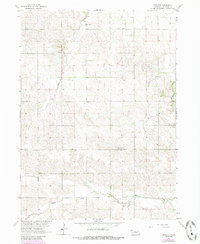
Editions of this 2021 Pierce SE Map
This is the sole edition of this map. No revisions or reprints were ever made.
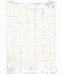
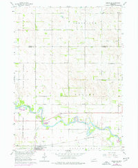
Historical Maps of Battle Creek Through Time
35 maps found
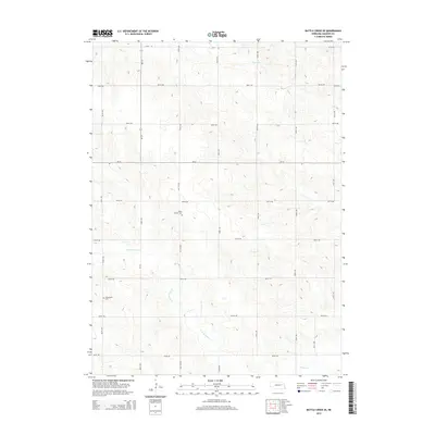
1963 Battle Creek SE
Madison County, NE
1963 Battle Creek SW
Madison County, NE
1963 Closter NE
Madison County, NE
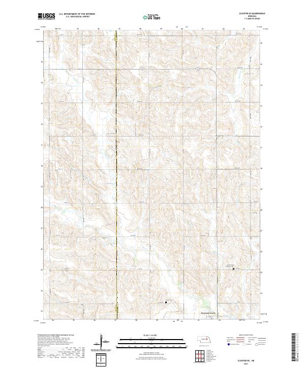
1963 Closter SE
Madison County, NE
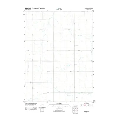
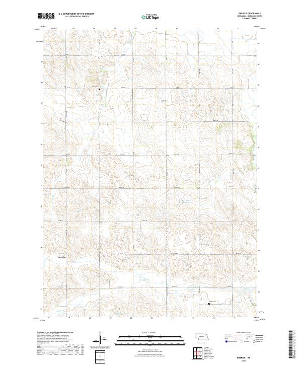
1963 Emerick
Madison County, NE
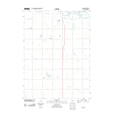
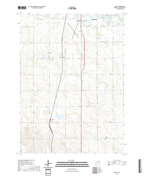
1963 Enola
Madison County, NE
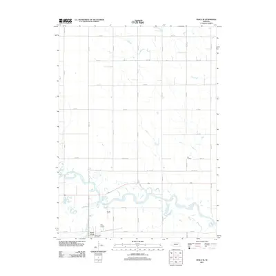
1963 Pierce SE
Madison County, NE
2011 Battle Creek SE
Madison County, NE
2011 Battle Creek SW
Madison County, NE
2011 Closter NE
Madison County, NE
2011 Closter SE
Madison County, NE
2011 Emerick
Madison County, NE
2011 Enola
Madison County, NE
2011 Pierce SE
Madison County, NE
2014 Battle Creek SE
Madison County, NE
2014 Battle Creek SW
Madison County, NE
2014 Closter NE
Madison County, NE
2014 Closter SE
Madison County, NE
2014 Emerick
Madison County, NE
2014 Enola
Madison County, NE
2014 Pierce SE
Madison County, NE
2017 Battle Creek SE
Madison County, NE
2017 Battle Creek SW
Madison County, NE
2017 Closter NE
Madison County, NE
2017 Closter SE
Madison County, NE
2017 Emerick
Madison County, NE
2017 Enola
Madison County, NE
2017 Pierce SE
Madison County, NE
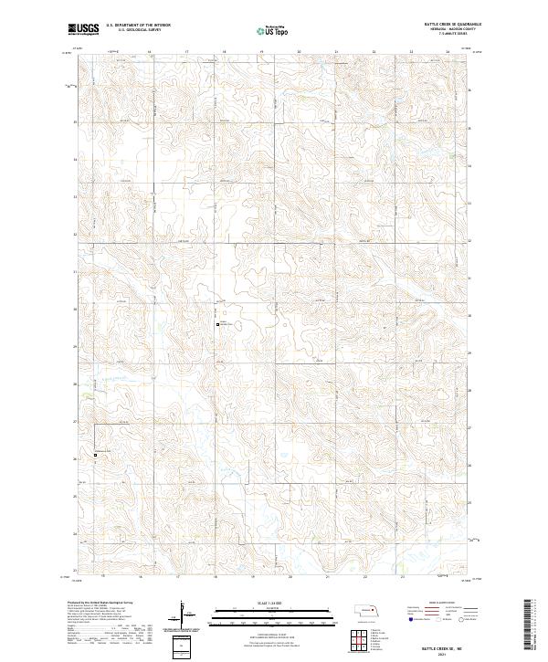
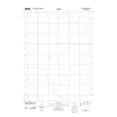
2021 Battle Creek SE
Madison County, NE
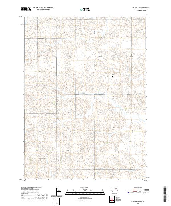
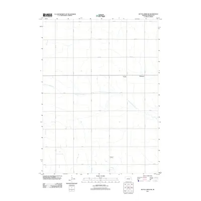
2021 Battle Creek SW
Madison County, NE
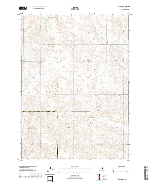
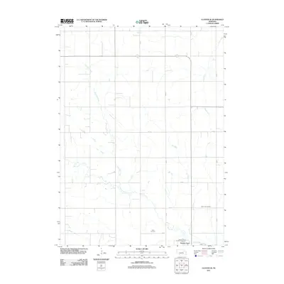
2021 Closter NE
Madison County, NE
2021 Closter SE
Madison County, NE
2021 Emerick
Madison County, NE
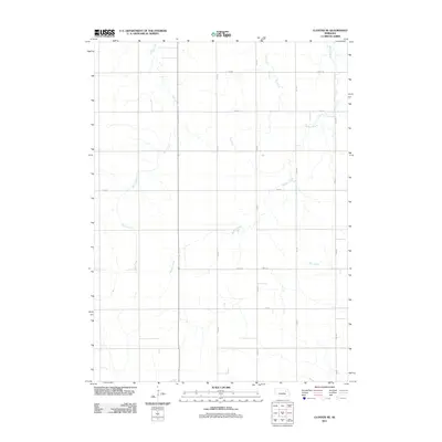
2021 Enola
Madison County, NE
2021 Pierce SE
Madison County, NE