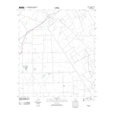
2010 Map of Pierce
USGS Topo · Published 2010About this map
Pierce sits along the rail line and highway corridor in the northern portion of this Wharton County landscape, serving as a focal point for the surrounding agricultural region. The terrain is defined by a dense network of watercourses, including the Jones Creek and East Fork Jones Creek systems that drain toward the south. Further south, the Tres Palacios River winds through the coastal prairie, where the Tres Palacios School stands as a local landmark.
Find a feature on this map
10 named features on this map. Tap any name to fly to it.
Don’t see what you’re looking for? This feature index may not catch every label — zoom into the map to look around manually.
Map Details
Editions of this 2010 Pierce Map
This is the sole edition of this map. No revisions or reprints were ever made.
Other maps of this area

1951 · Danevang
USGS Topo · 1:24,000

1952 · Lane City SE
USGS Topo · 1:24,000

1952 · Lane City
USGS Topo · 1:24,000

1952 · Pierce
USGS Topo · 1:24,000

1953 · Wharton
USGS Topo · 1:24,000

1953 · Glen Flora
USGS Topo · 1:24,000

1953 · Seguin
USGS Topo · 1:250,000

1958 · Seguin
USGS Topo · 1:250,000

1960 · New Taiton
USGS Topo · 1:24,000

1965 · El Campo
USGS Topo · 1:24,000